Location: Velhe
Distance from Pune: 65 km
Distance from Mumbai: 213 km
Trekking Duration: 1 day / 2 day treks
Trekking Length: 3 hours 30 minutes
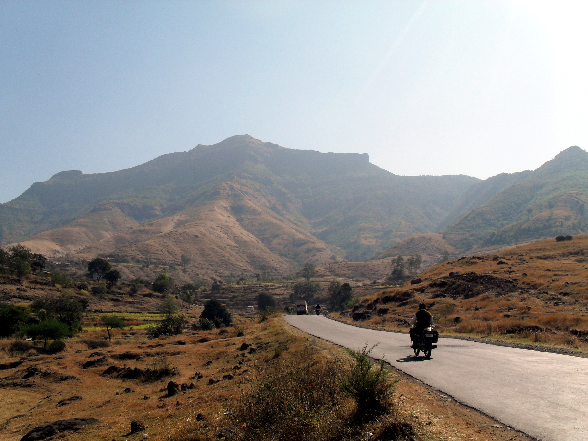
Starting Point: Velhe is the base village
Best season to visit: Winter and Monsoon (During Monsoon ideal for experienced trekkers only)
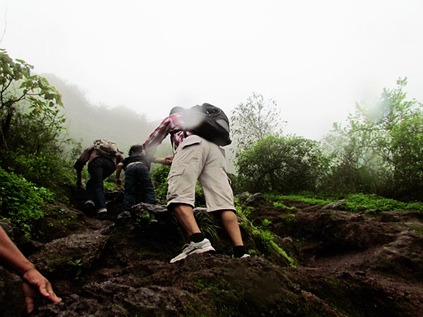
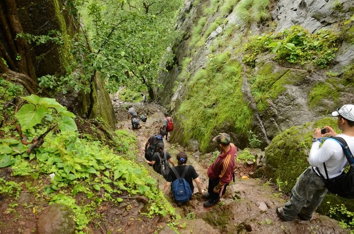
Difficulty level: Medium to Difficult
Height: 1405 mt (4610 feet) above sea level

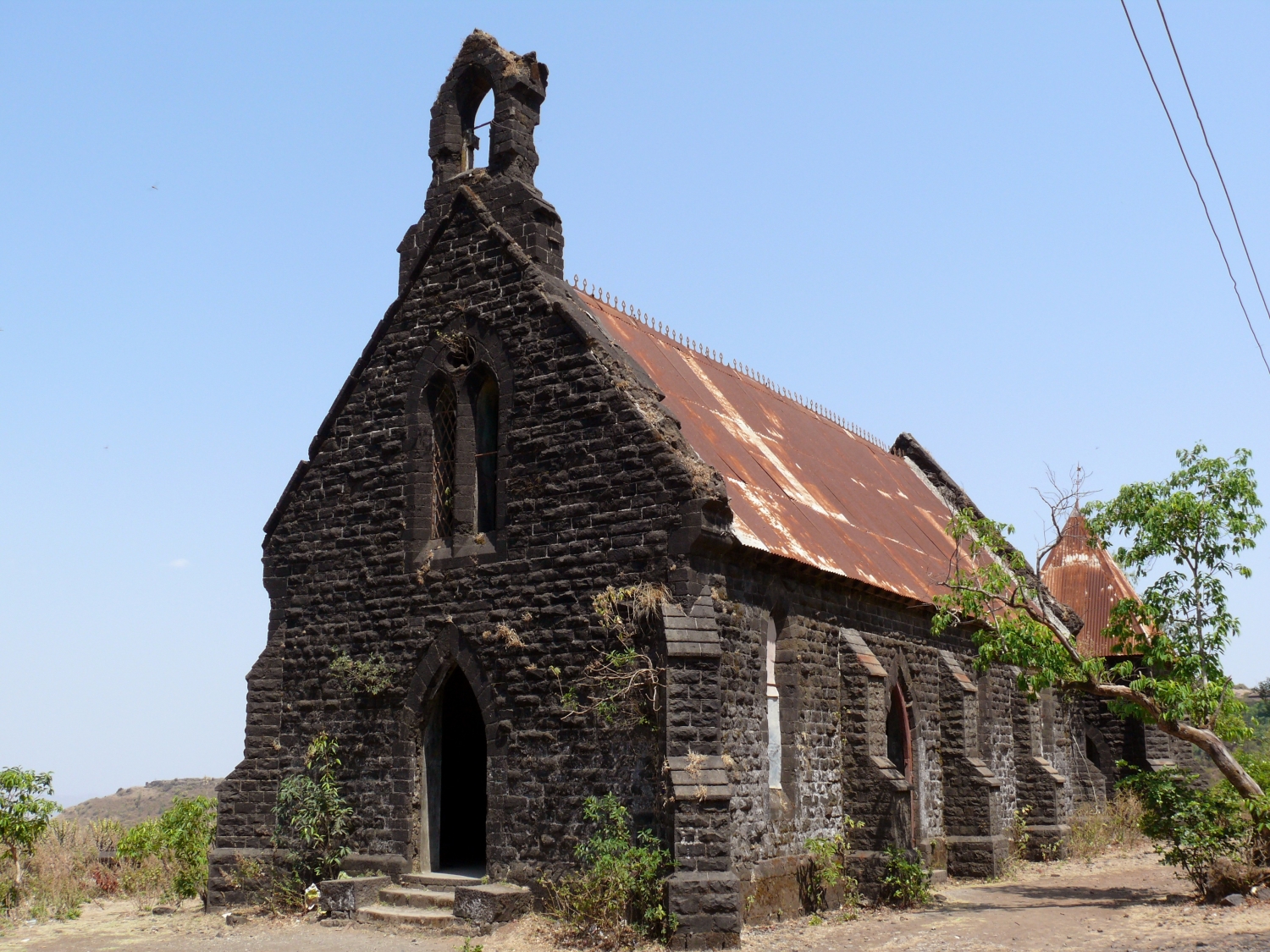
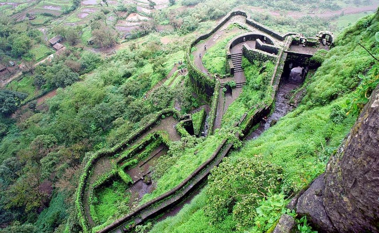
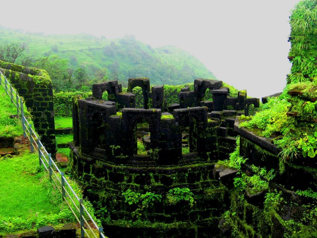
What to see at the fort:
- Kothi Darwaza
- Konkan Darwaza
- Bini Darwaza (The main entrance)
- Hanuman Bastion
- Zunjar Machi (Bastions)
- Budla Machi (Bastions)
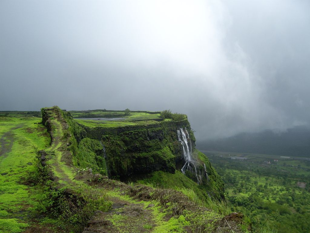
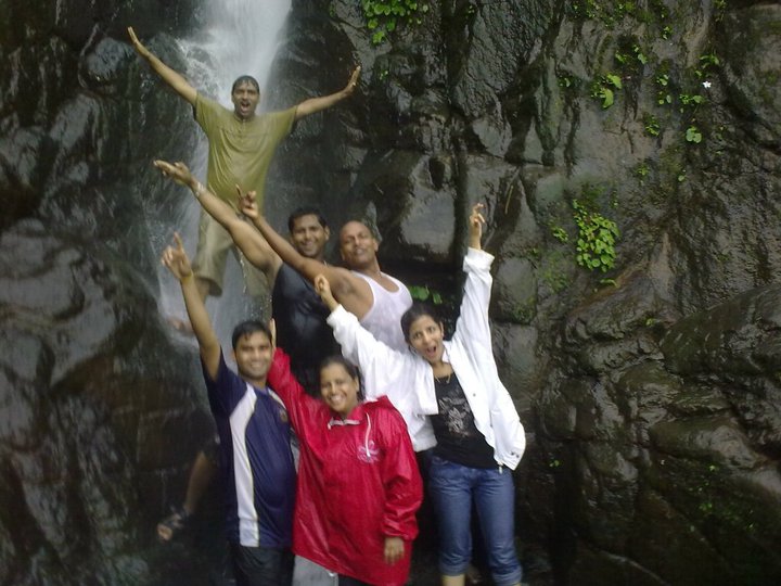
- View of numerous waterfalls around
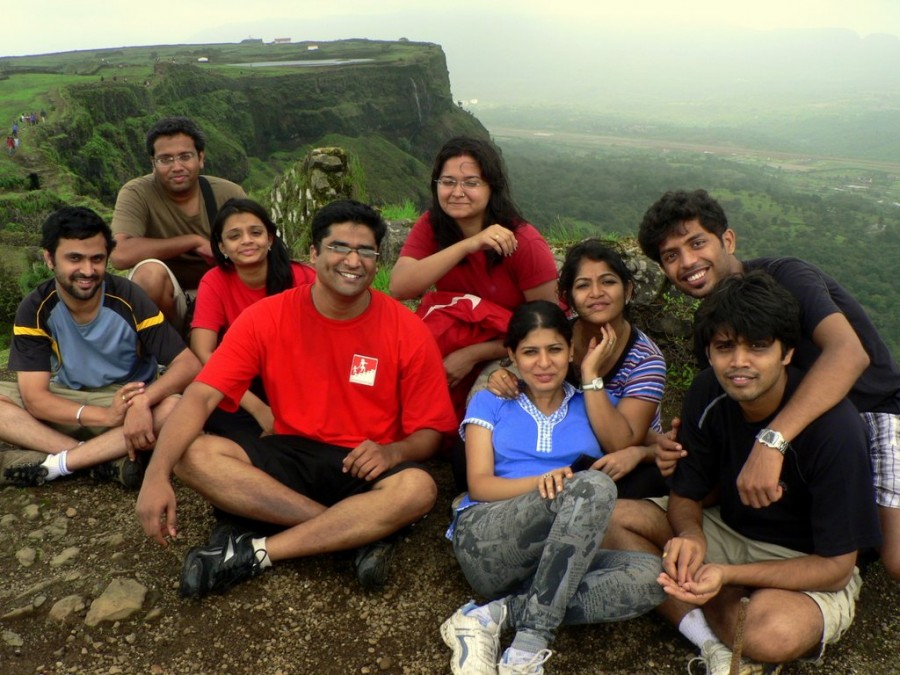
- View of beautiful valleys and mountains
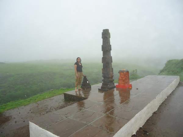
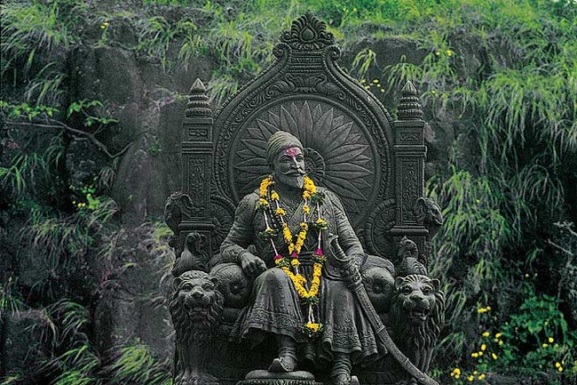
- Mangai Devi Temple
A brief history:
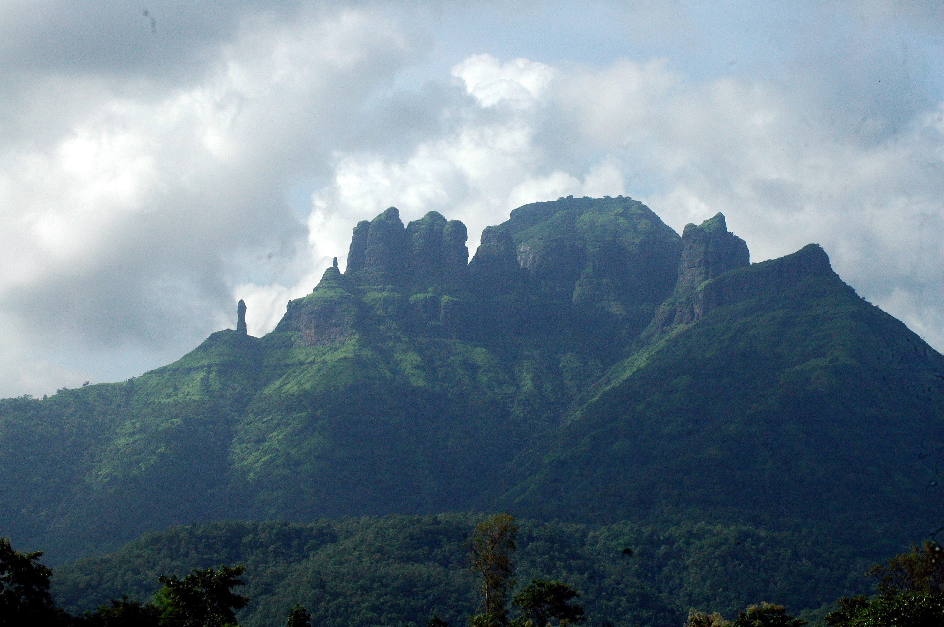
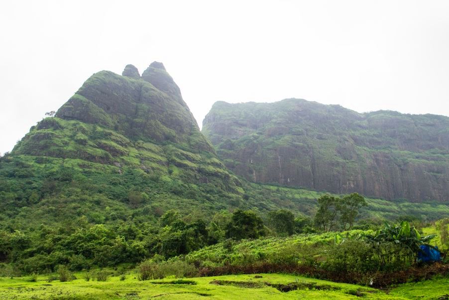
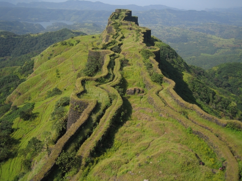
Torna Fort also known as Prachandagad is one of the highest forts in Pune district located at a height 4610 feet. It was captured by Shivaji Maharaj at a tender age of 16. Though not much is known about its origins of the fort but it has seen many wars between the Mughals and the Marathas over its possession and has been an important and strategic fort in the western ghats.

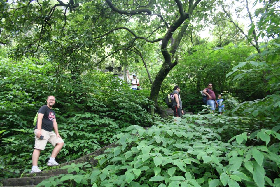
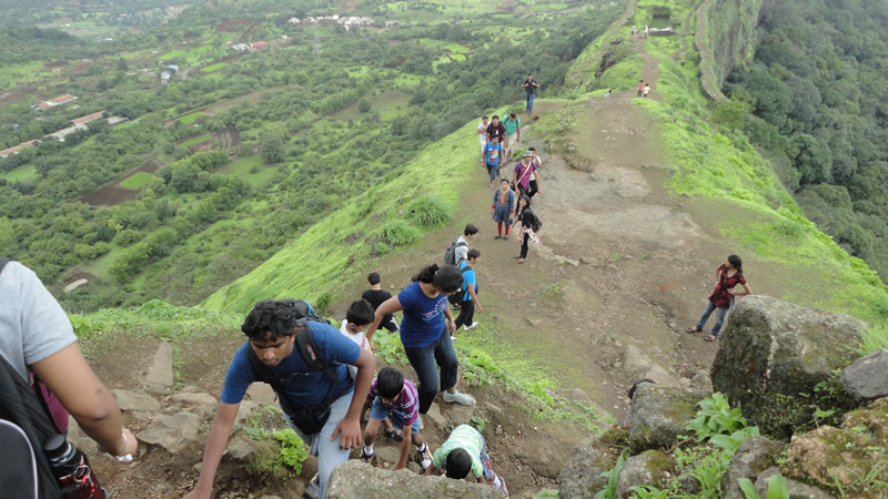
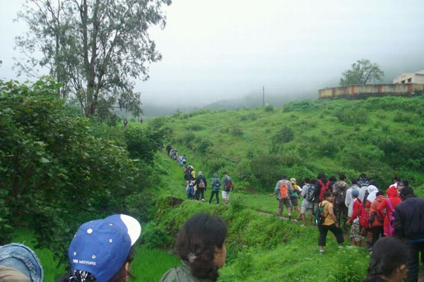
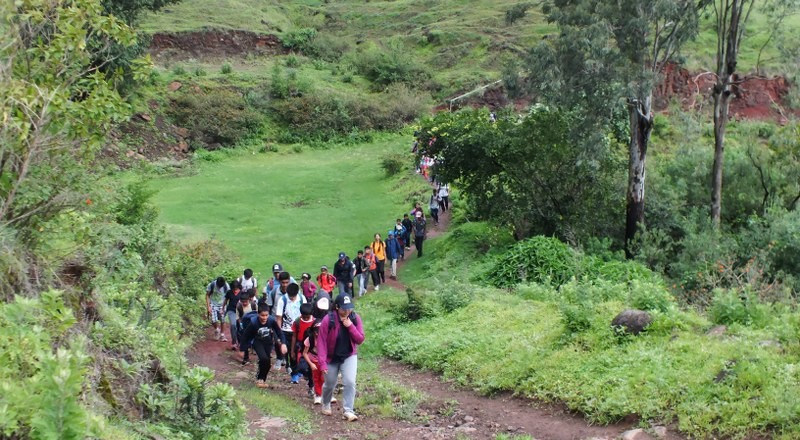
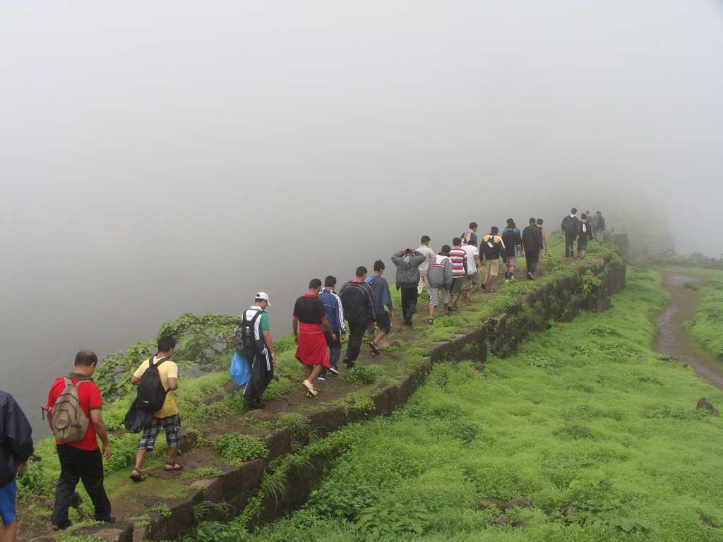
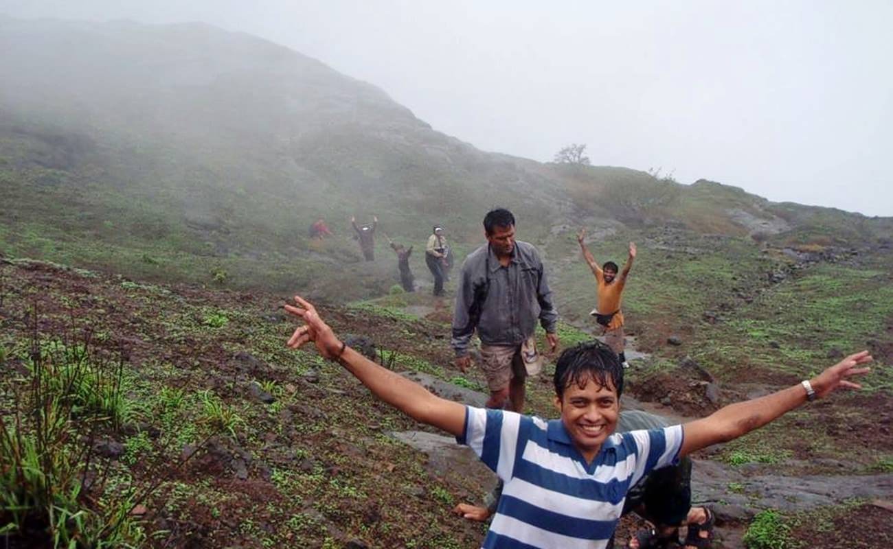
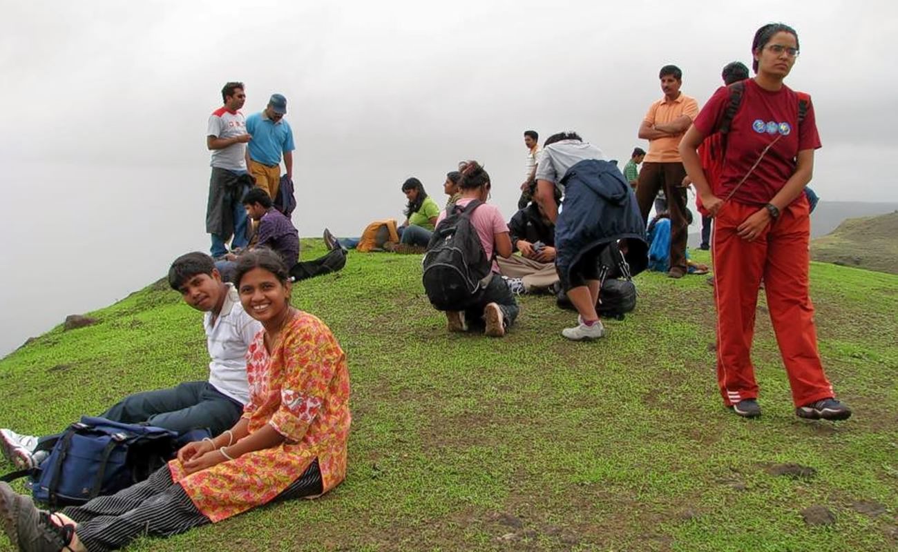
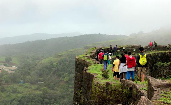
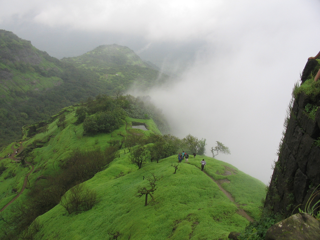
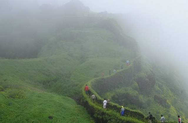
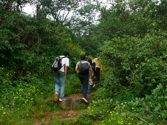
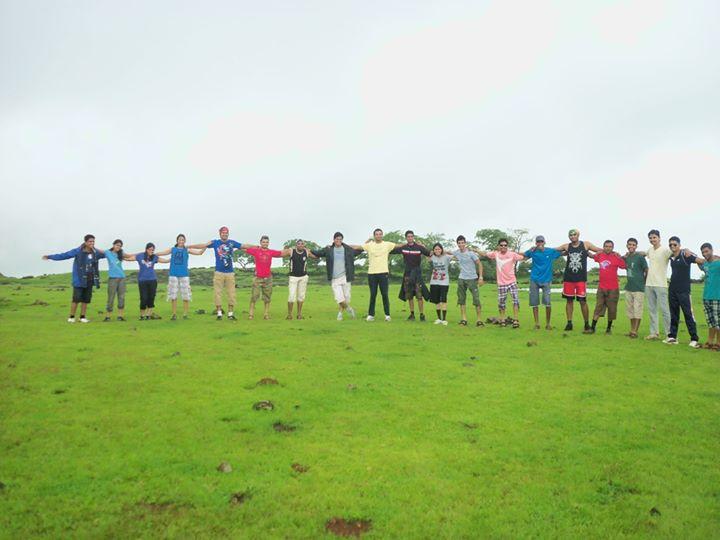
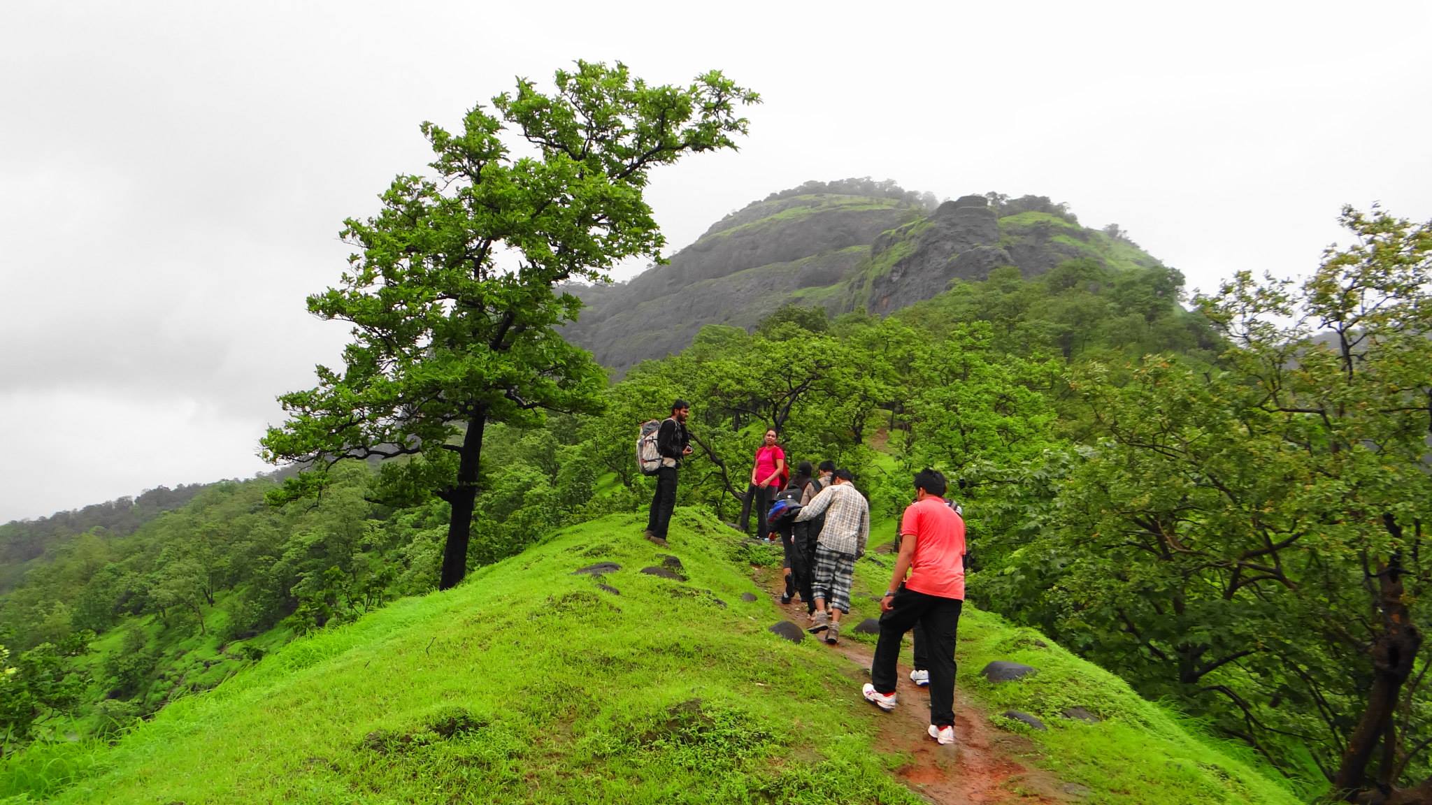
Trekking the Torna fort is a fascinating experience both during monsoons and winters as it keeps a trekker encapsulated for the entire duration of the trek with its beauty.

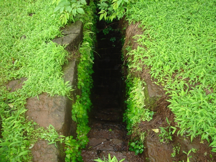
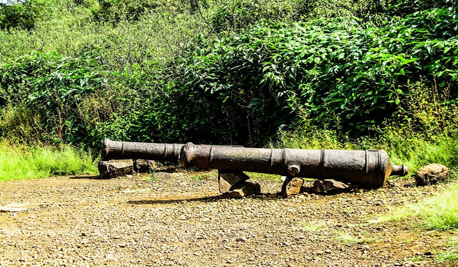
While trekking up the fort, trekkers will come across a series of temples, old ruins which were once used to accommodate soldiers, water reservoirs and tanks. Once at the summit trekkers will be rewarded with breathtaking views of neighboring forts, beautiful landscapes and mountain ranges.

During heavy monsoon showers there could be difficulty in exploring the fort as there is heavy cloud cover and fog at the top. But during winters a trek to the top is considered the best as the entire trail is laden with beautiful wild flowers.

Experienced trekkers can go for a twin treks i.e. Rajgad and Torna or Torna and Rajgad.This trek involves crossing a few hills and take about 5 to 6 hours of ridge walking.
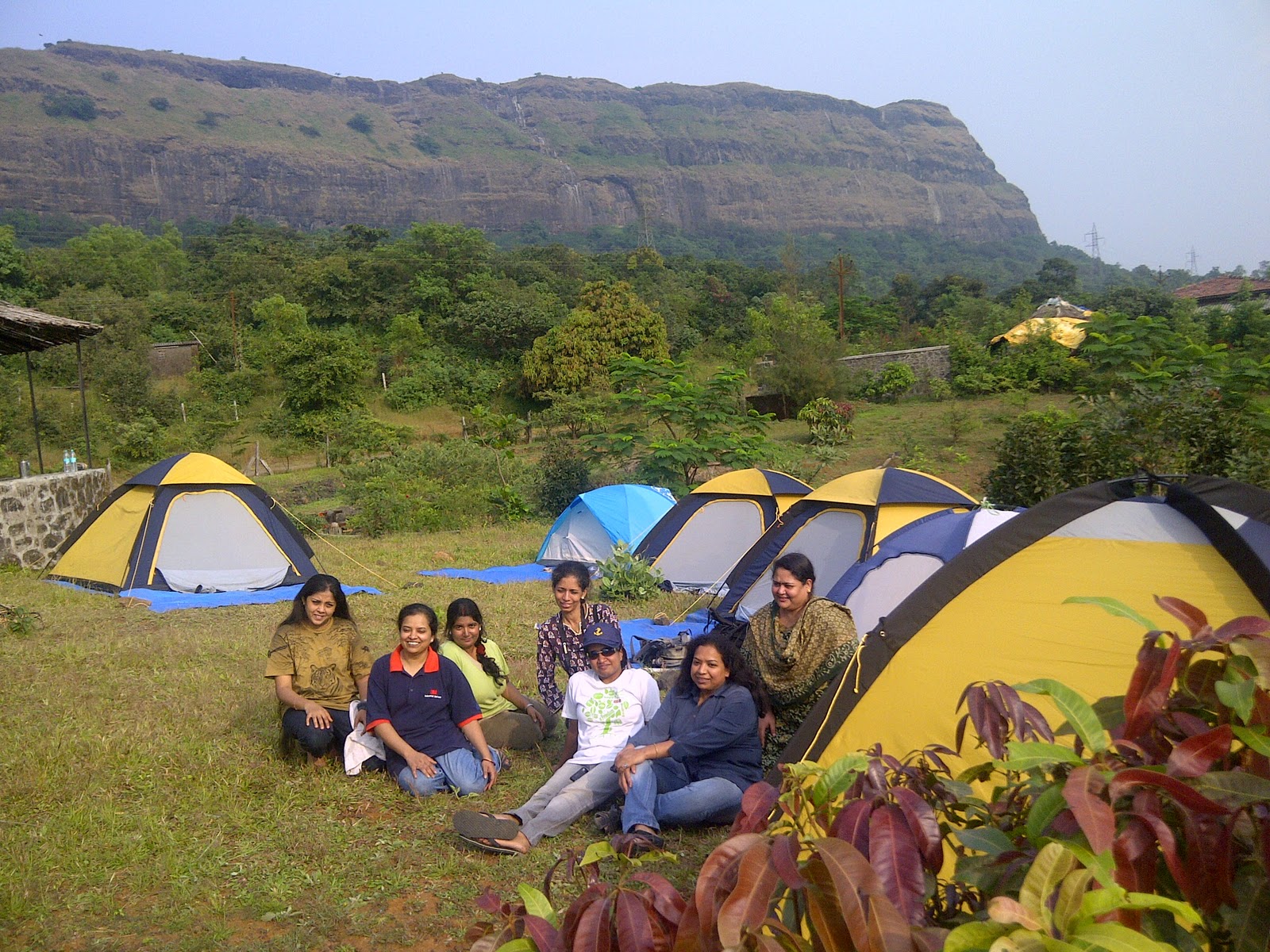
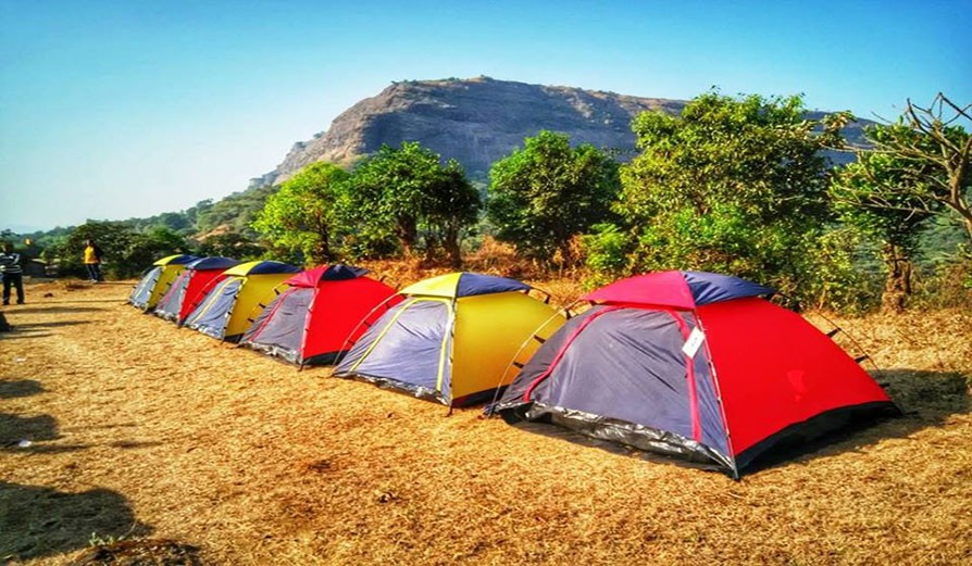
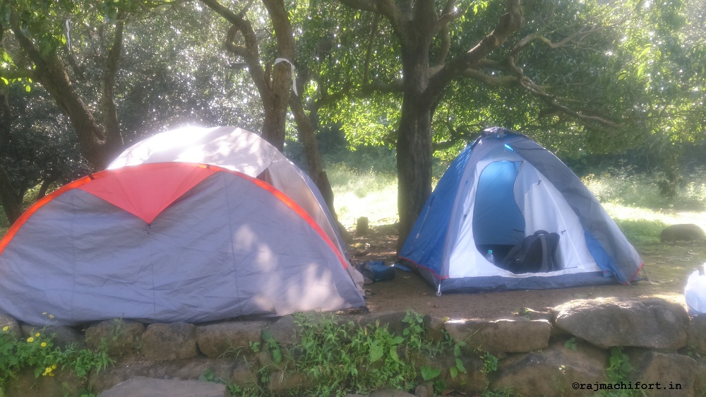
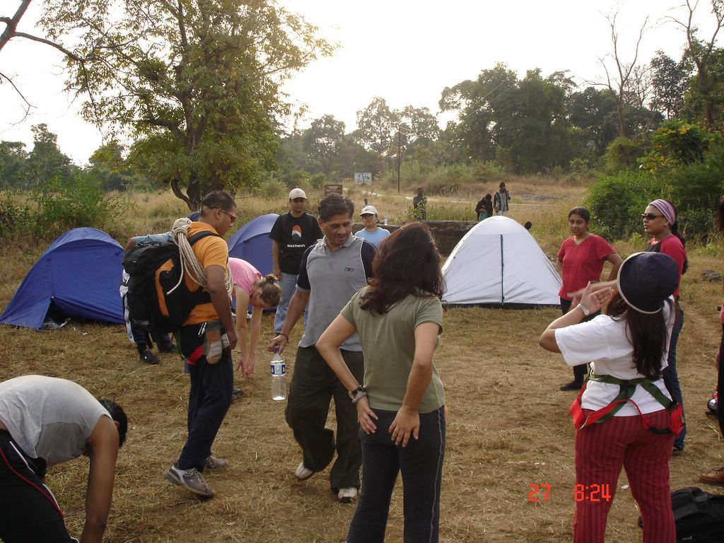
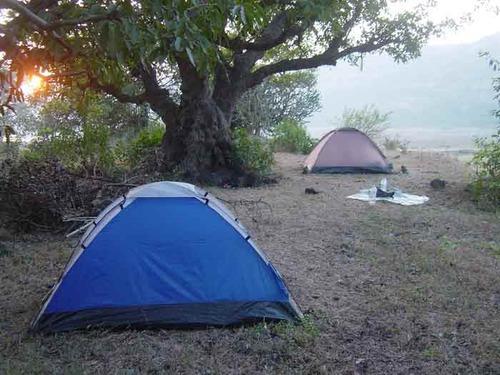
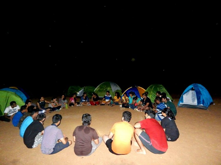
Camping Info:
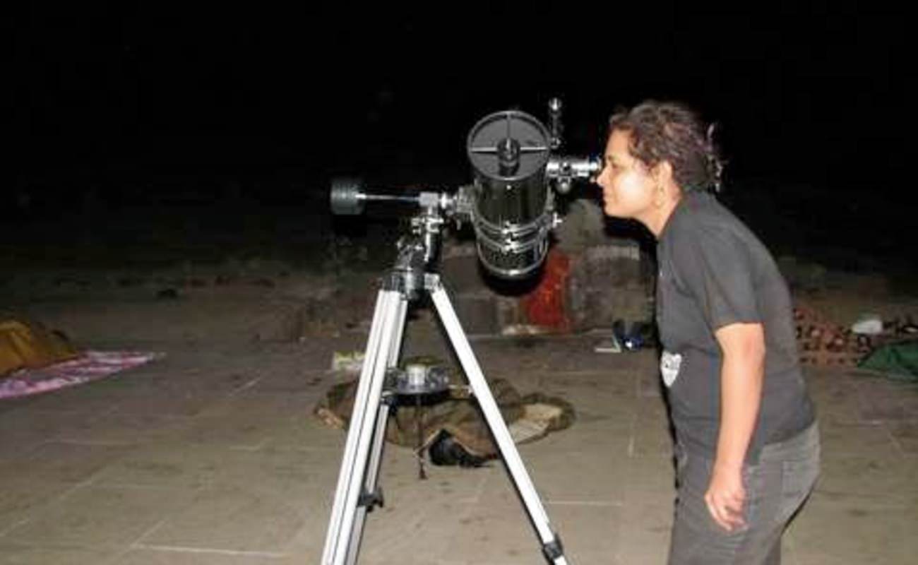
The best time to camp at the fort is during winters (October to December). Trekkers can bring their own camping gear and setup a camp site anywhere within the open spaces of the fort. Trekkers without camping gear can take shelter at Mangai Devi Temple on top of the fort.

Furthermore, Velhe the base village has a number of restaurants serving authentic Maharashtrain delicacies like kanda poha, misal and wada pav. Every year due to the large numbers of trekkers visiting the place the local villagers have started lodging and boarding facility for trekkers planning an overnight stay.
Please note: Avoid camping during monsoon season. During winters carry sufficient warm clothes as since it is pretty cold at the top of the fort at night.
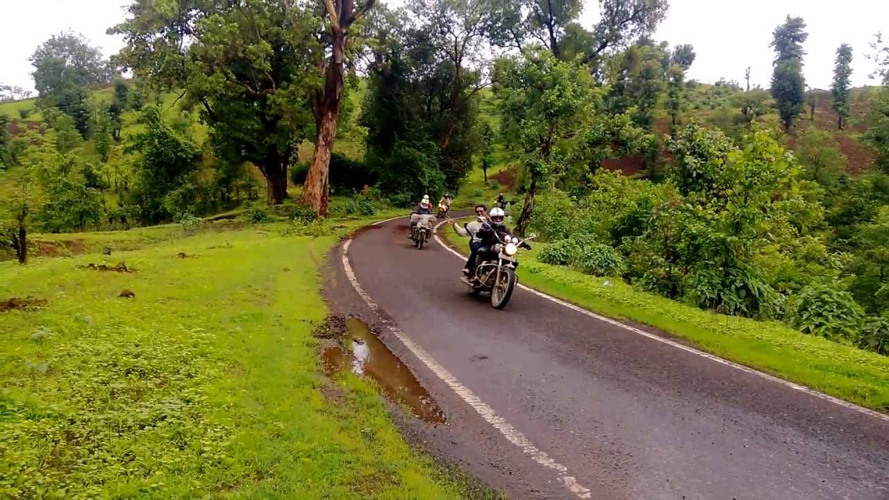
How to reach:
S.T buses and other public transport are easily available from Swargate S.T. stand to Velhe village on a daily and regular basis.
By road the best route is Pune -> NH4-> Nasrapur Phata->Velhe village.
From Mumbai
Mumbai -> Lonavala -> Pune -> Pune Satara HW -> Nasrapur -> Adoli -> Velhe -> Torna.
For bookings for a Monsoon Trek to Torna Fort PLEASE CLICK HERE
Caution: The roads and trails leading to the fort are quite slippery during Monsoon so be careful while venturing on a trek.For more information read: Precautions to be taken during Monsoon trekking.