Location: Near Mahableshwar / Satara district
Distance from Mumbai: 220 km
Distance from Pune: 140 km
Distance from Mahableshwar : 20 km
Trekking Duration: 1 day / 2 day
Trekking Length: 2 hours
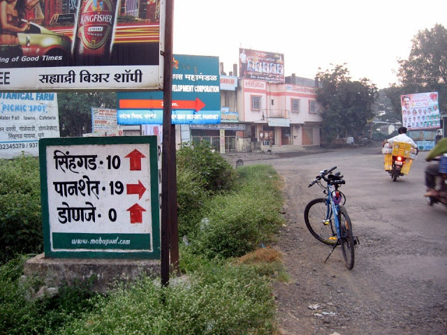
Starting point: Pratapgad fort parking
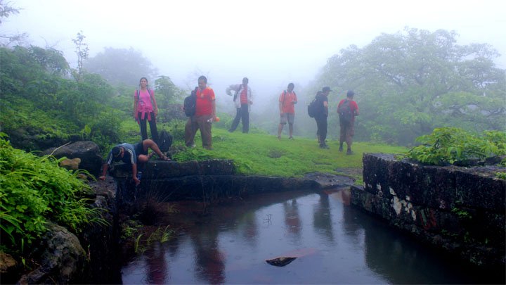
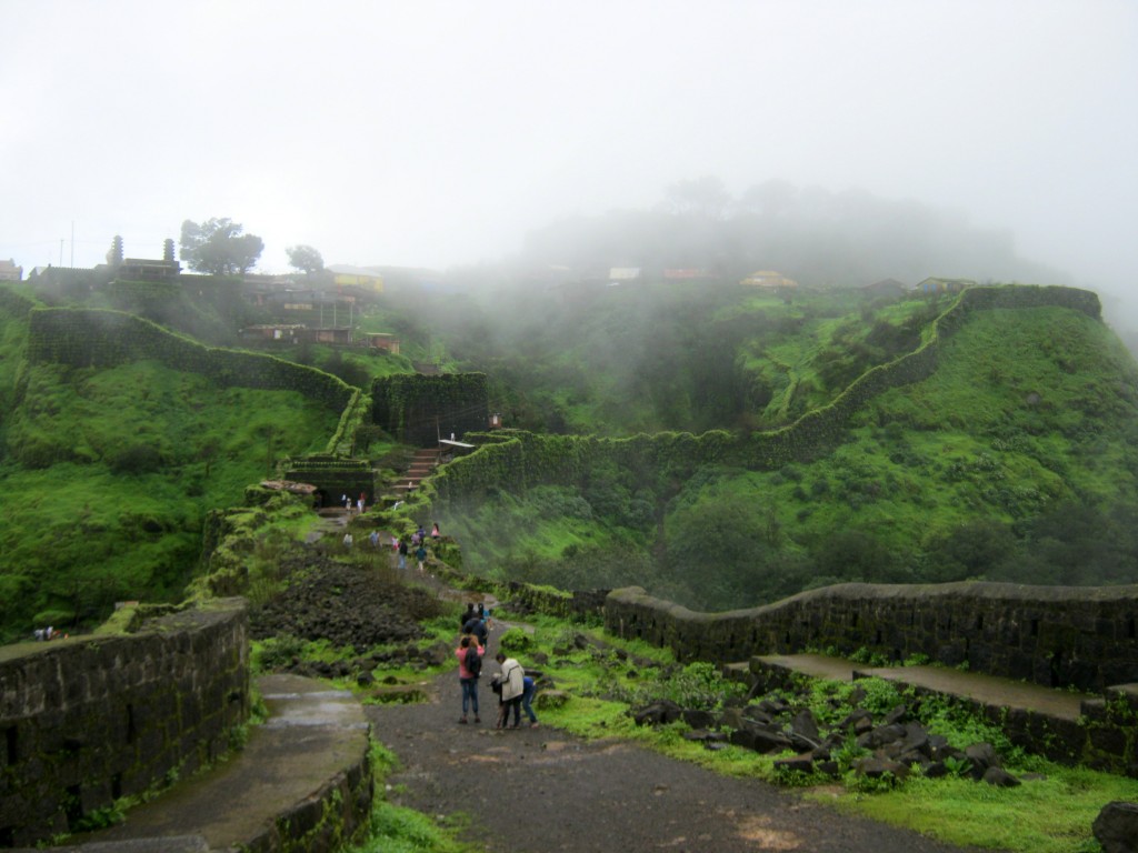
Best season: All round the year. Monsoon is the ideal time
Difficulty: Easy
Height: 1080 (mt) / 3545 (feet) above sea level
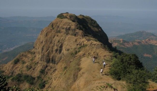
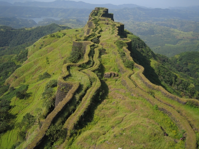
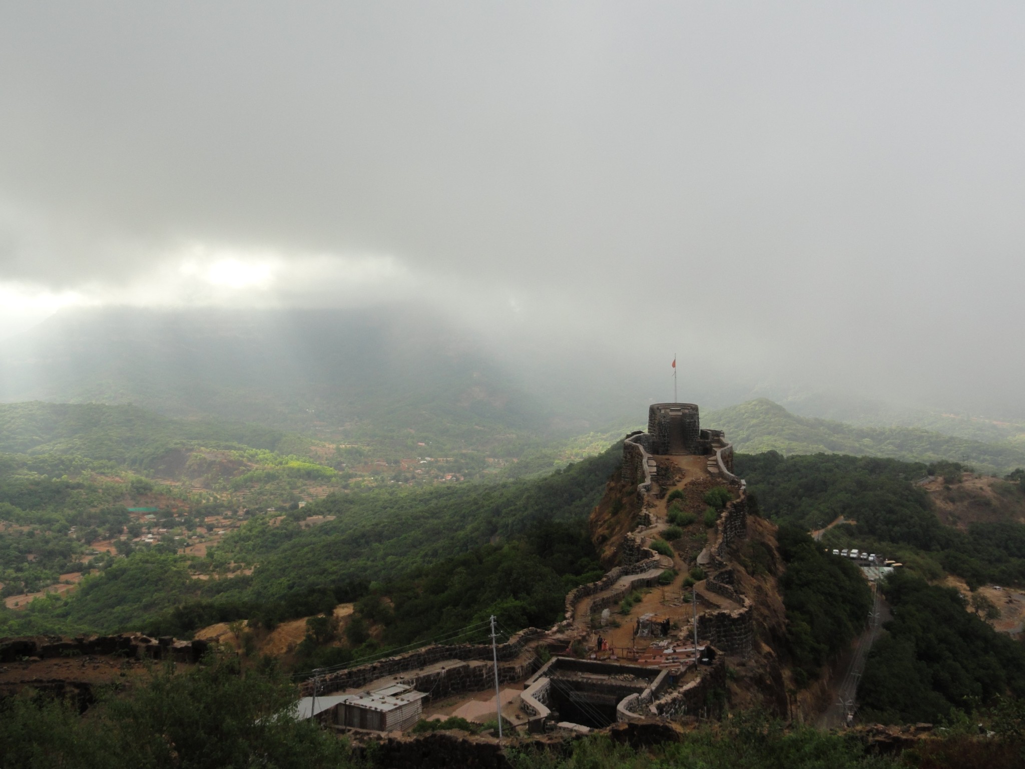
What to see at the fort
- Entrance of Bale – Killa
- Watch towers on the fort
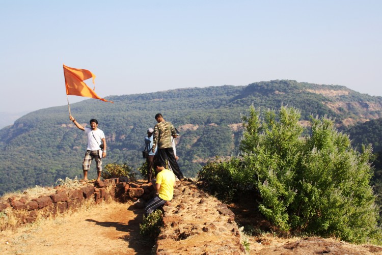
- Statue of Shivaji Maharaj
- Bastions on the fort
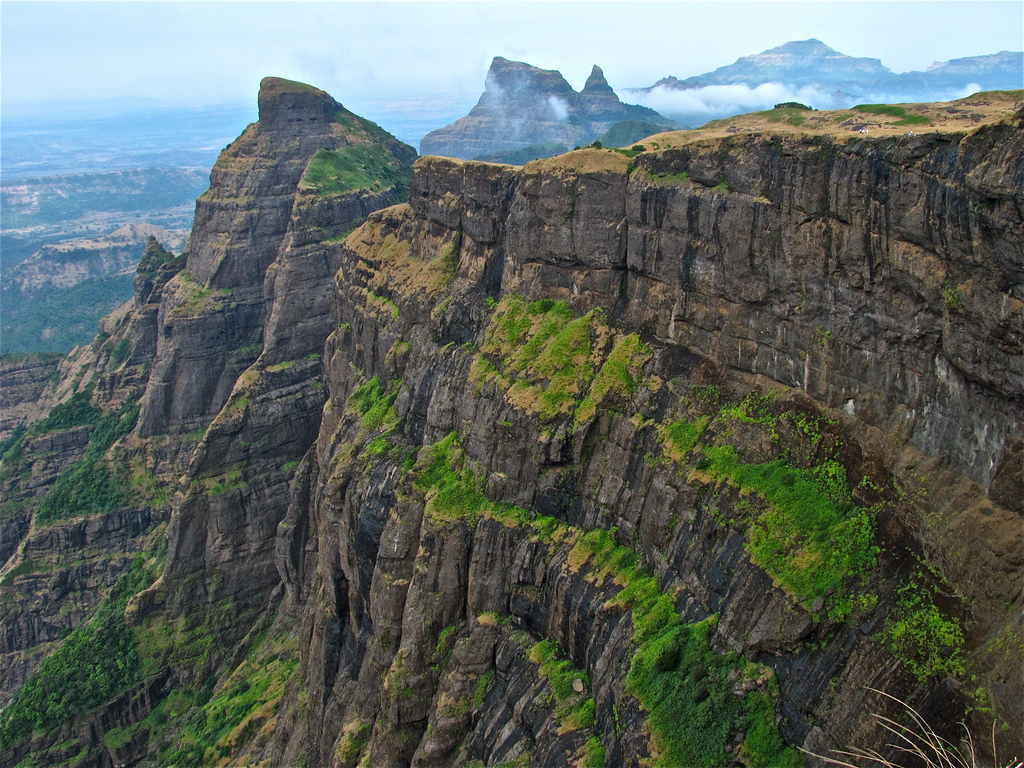
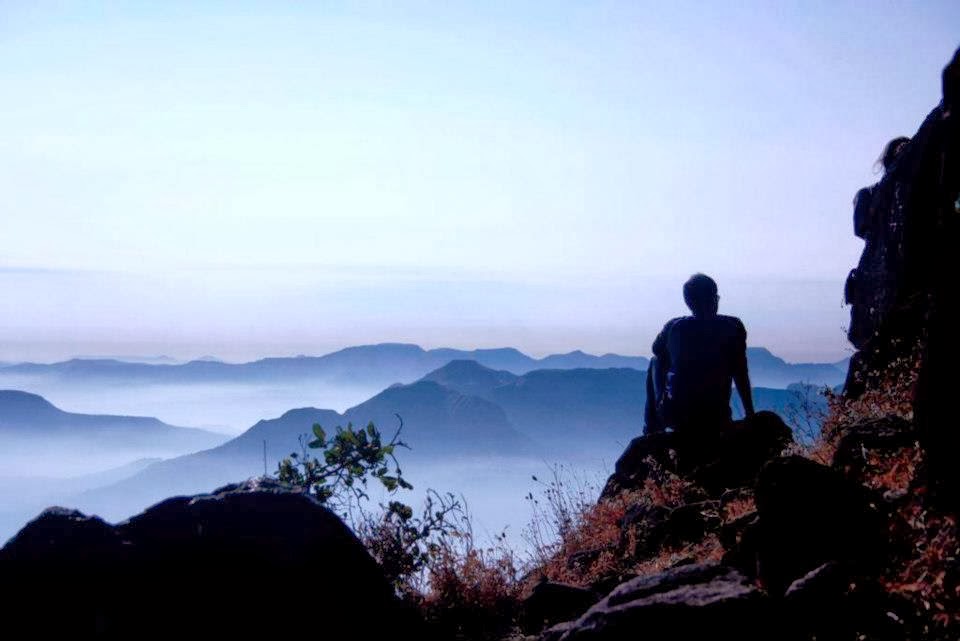
- Beautiful Sahyadri mountains surrounding the fort
- Afzal Khan’s dargah
- Bhavani Temple
- Afzal Tower
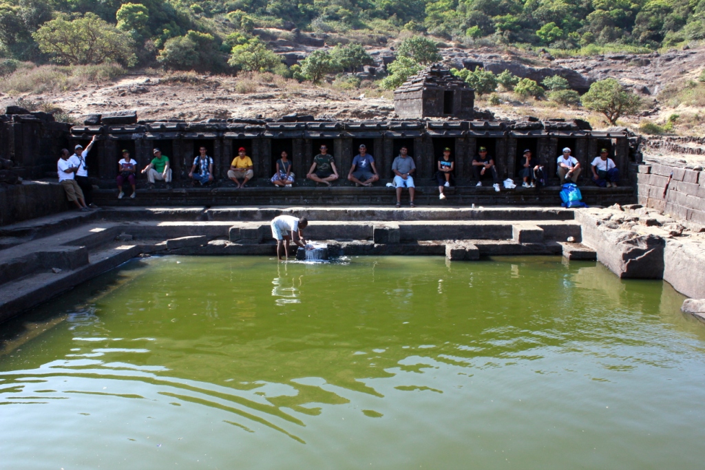
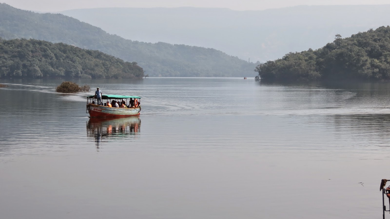
- Rahat Lake – Biggest lake on the fort
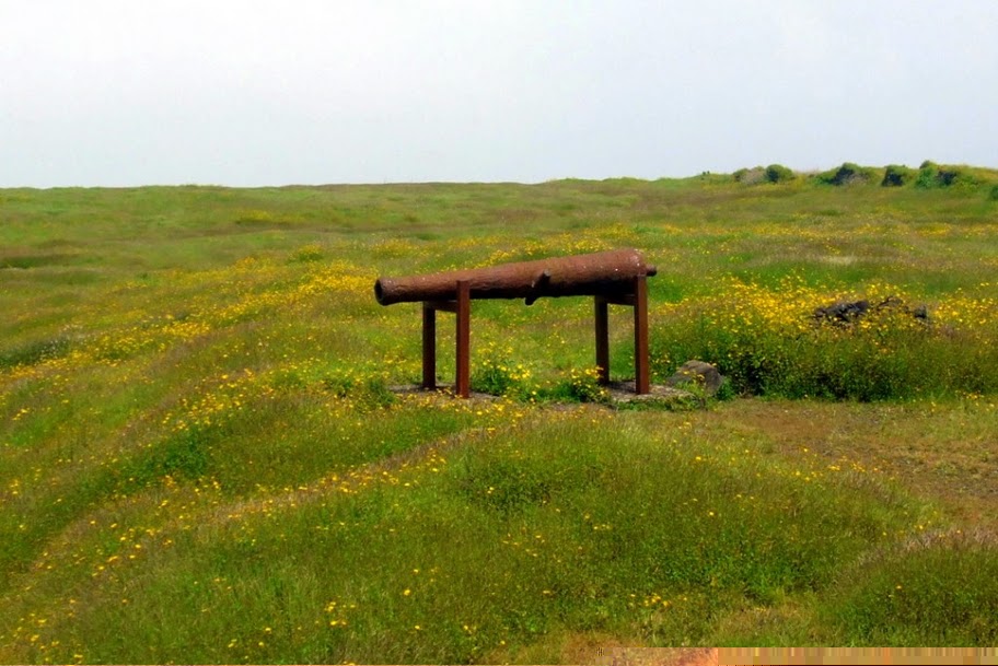
- Heavy Canons at the top
Timing: 08:00 a.m. to 05:00 p.m. (Plan your visit well ahead of closing time).
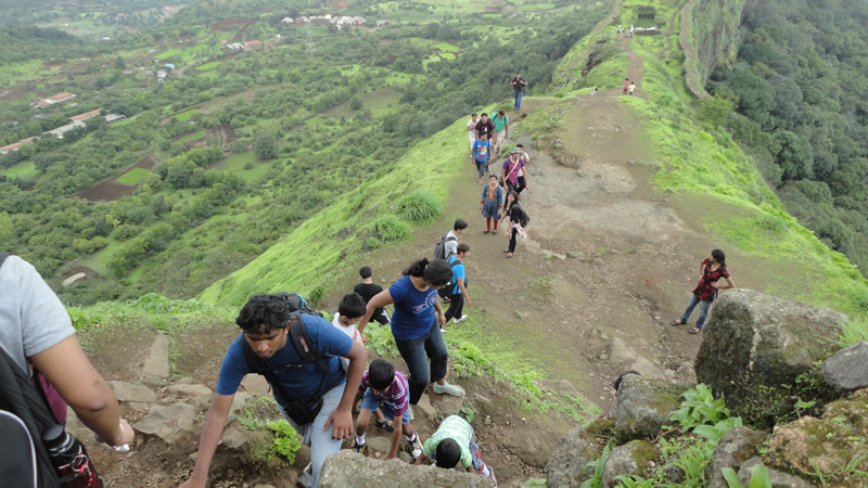
Trekkers interested in history of the fort must keep at least 2 hours aside for exploring the fort.

A brief history
Pratapgad fort was built by Shivaji Maharaj during mid 16th century in order to defend the banks of Nira and Koyna River as they were major trade route during that time. But the real reason for the forts popularity was for its famous tussle between Afzal Khan and Shivaji Maharaj, in which Afzal Khan lost his life. During the 18th century it was in control of the British Empire and continued to be the center of regional politics. In present times it remains the only fort of Maharashtra which is privately owned by someone (Uday Raje Bhosale), the heir of the princely state of Satara.
Description
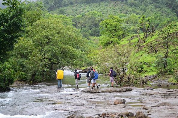
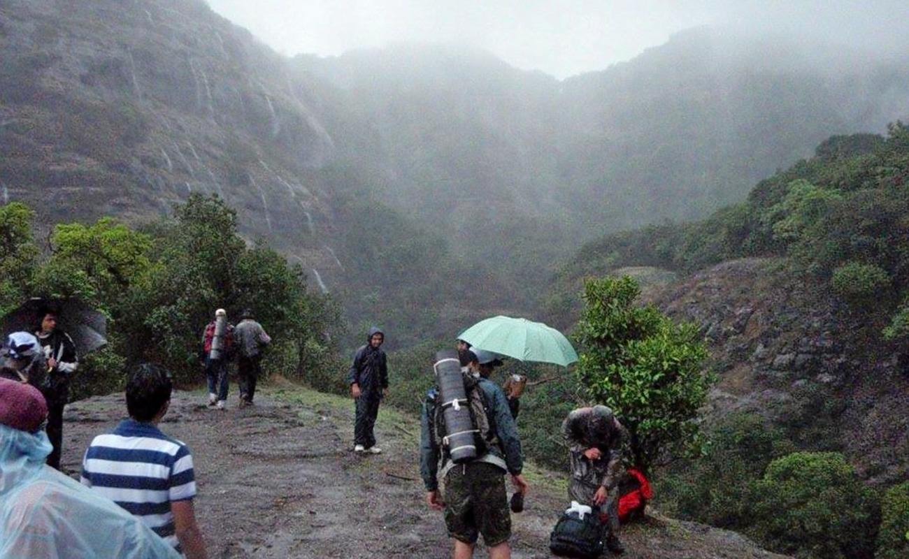
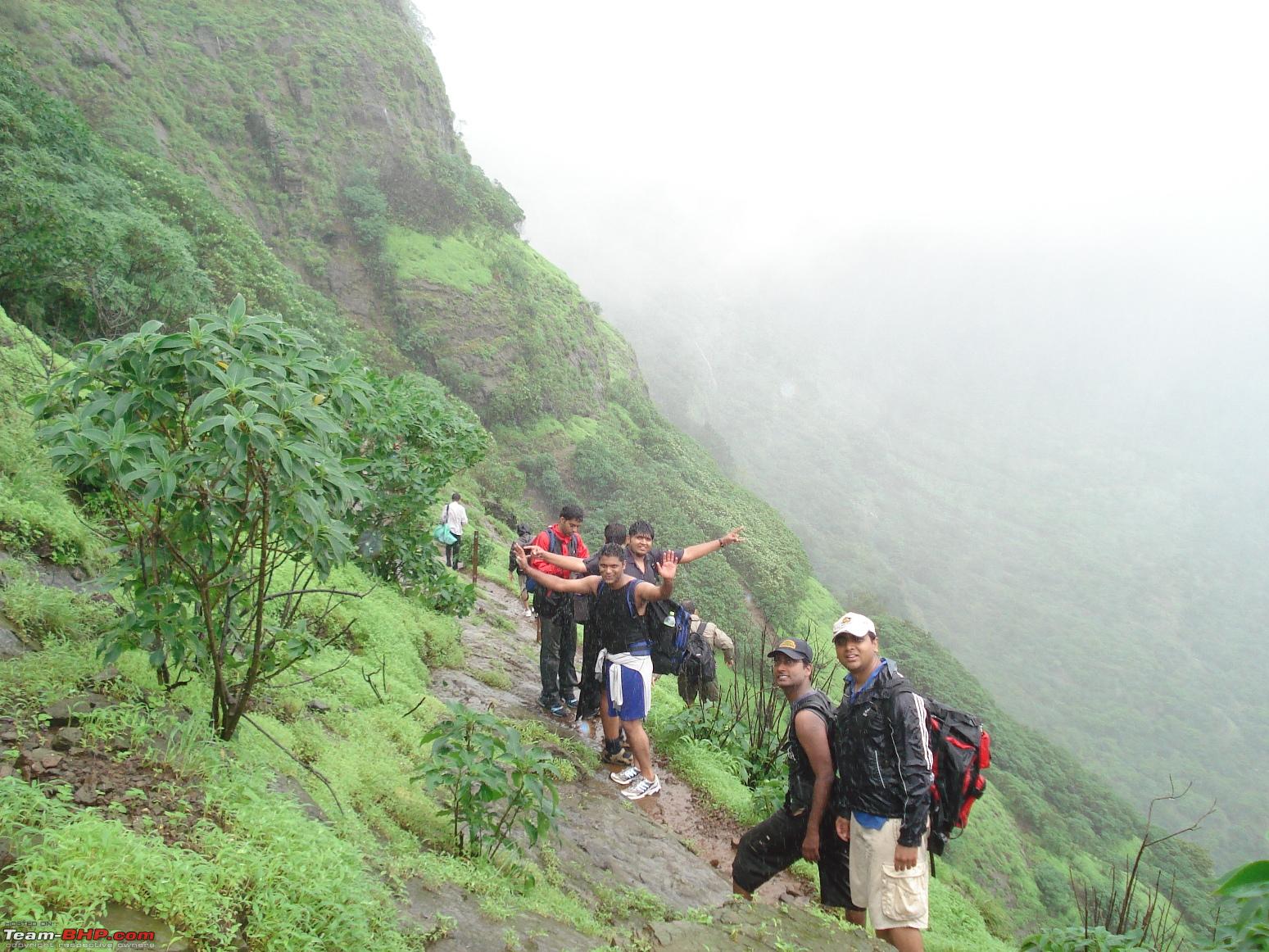
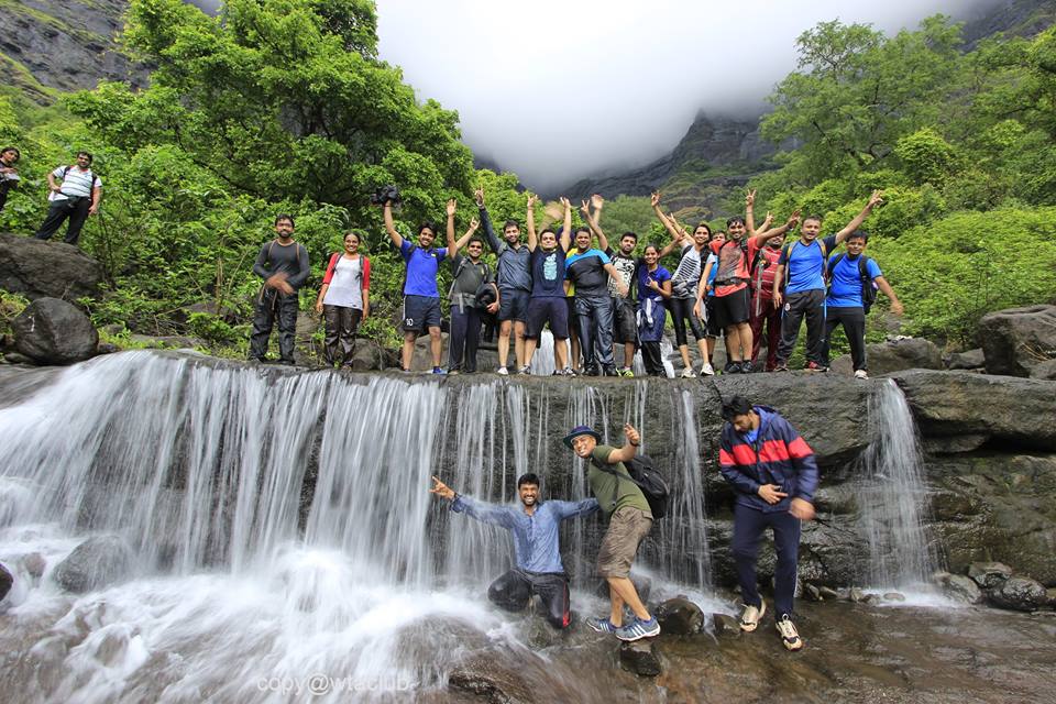
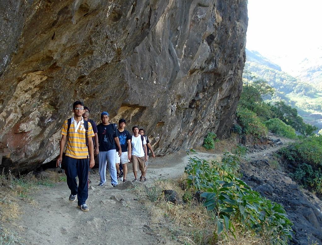
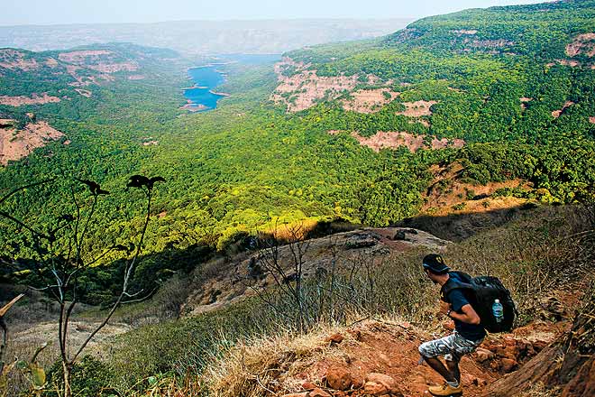
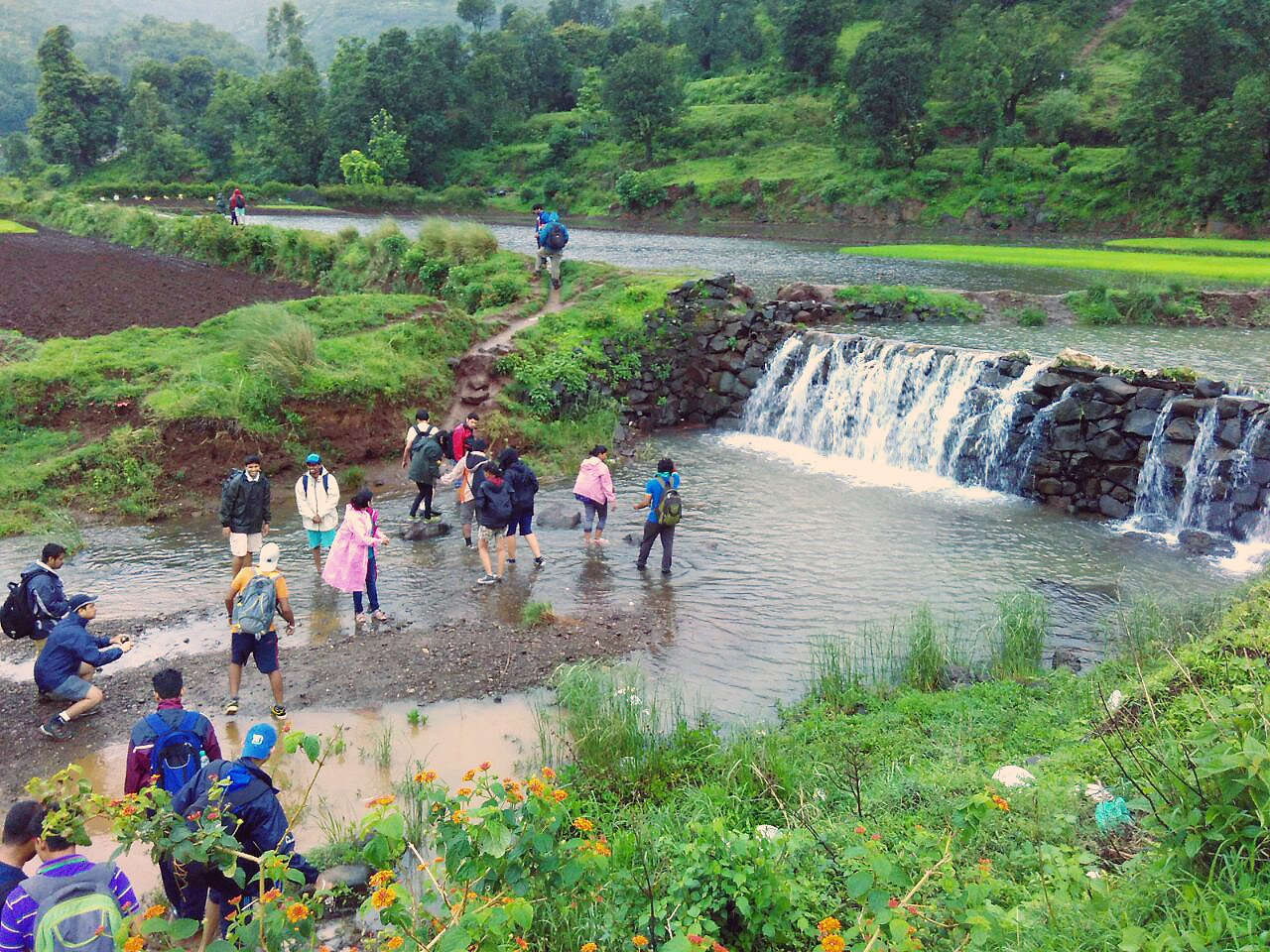
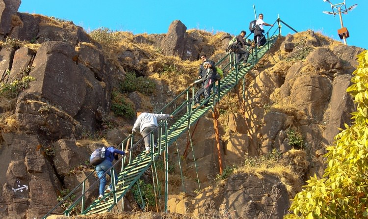
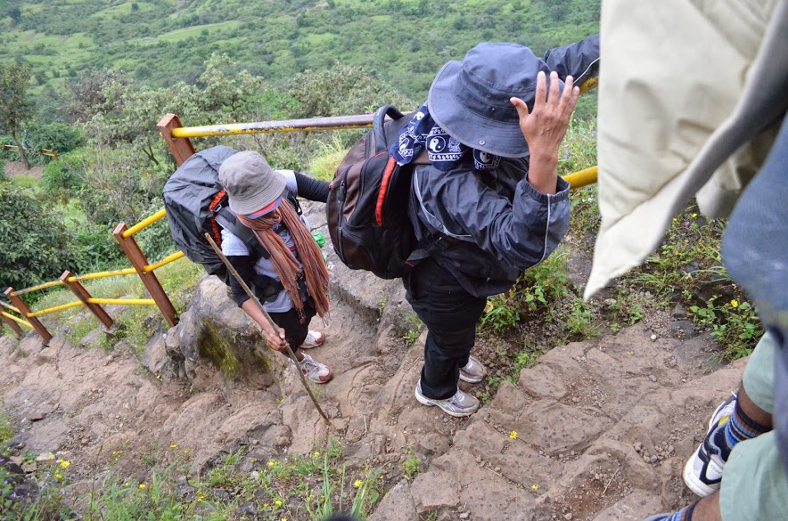
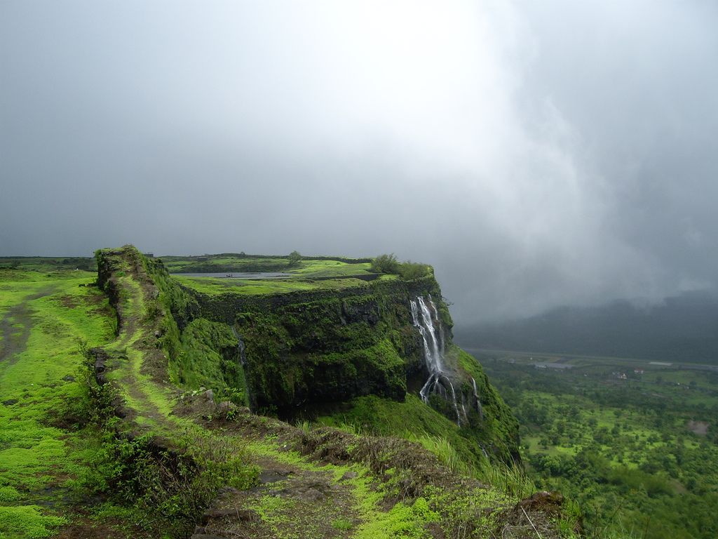
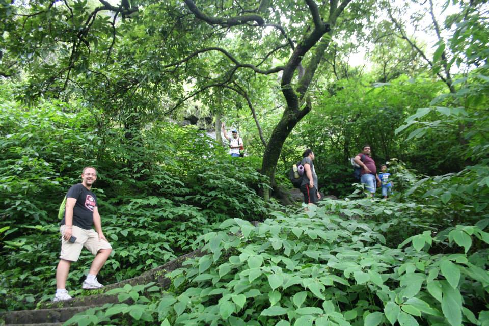
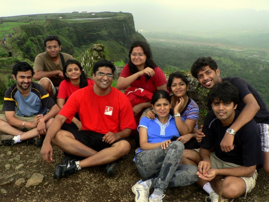
Pratapgad fort is not very popular with experienced trekkers but is ideal for first time trekkers who want to get used to trekking forts. There is no specific trekking trail between the woods instead there is a series of 450 plus steps from the base of the fort to the top. Trekking here during the monsoon is ideal as one will get a glimpse of several waterfalls on the way and adds to the beauty of the place. Once trekkers reach the top they fill find well preserved fortifications, historic monuments and 360 degree panoramic views of the valley.
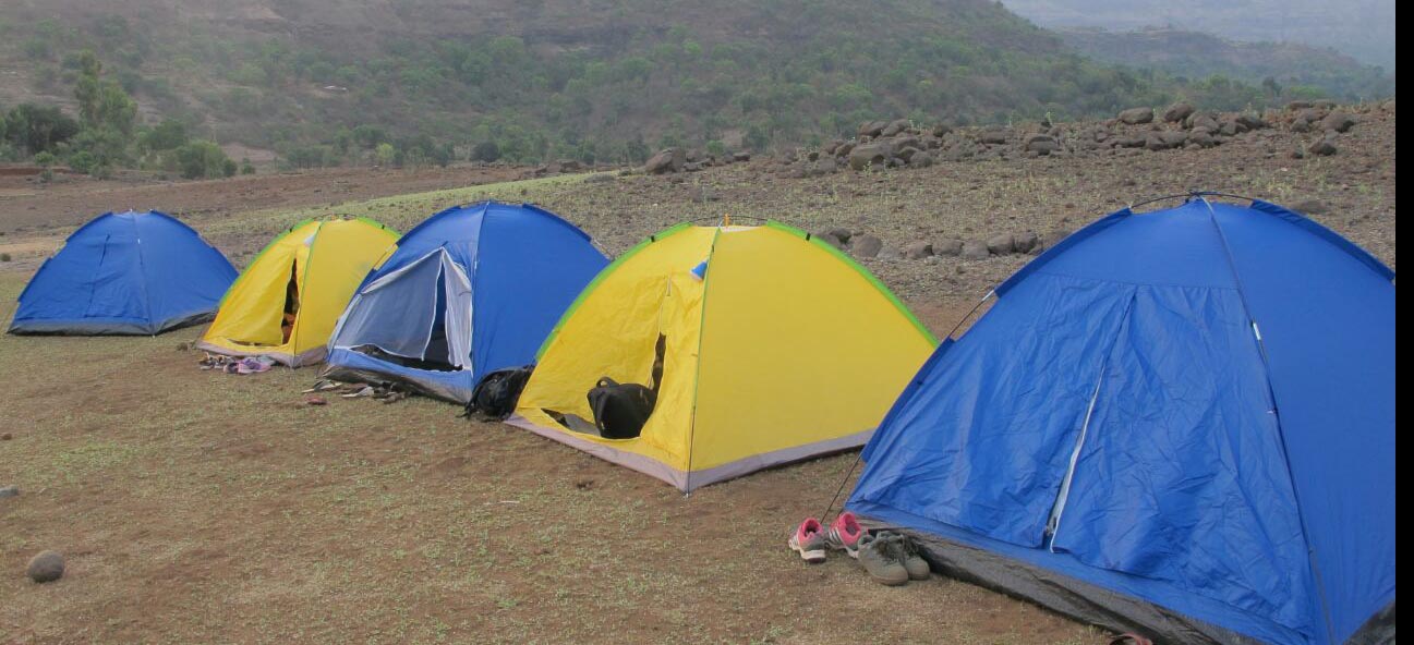
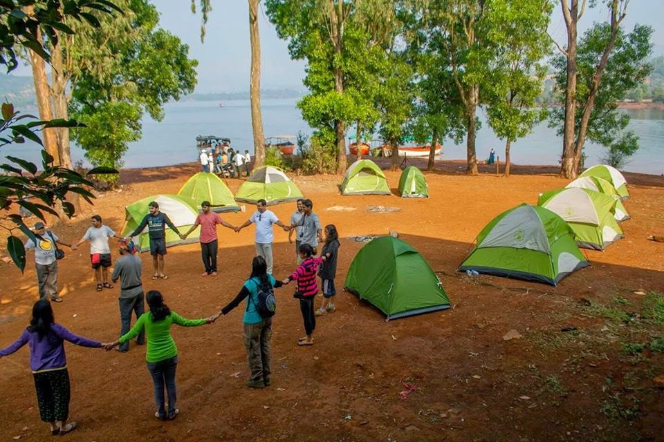
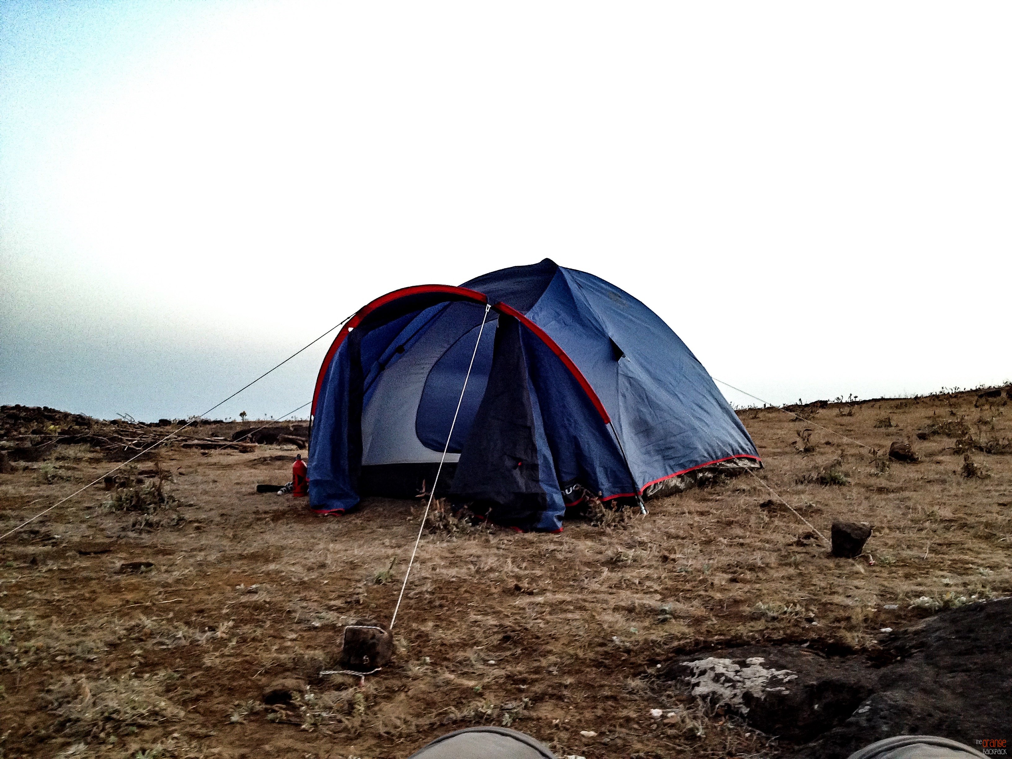
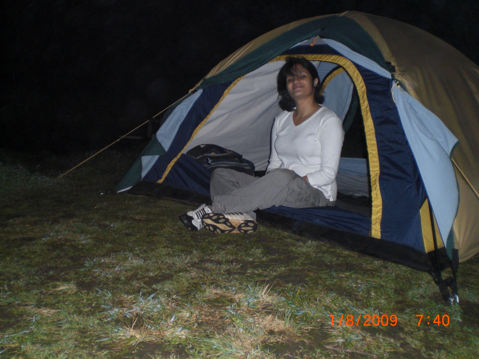
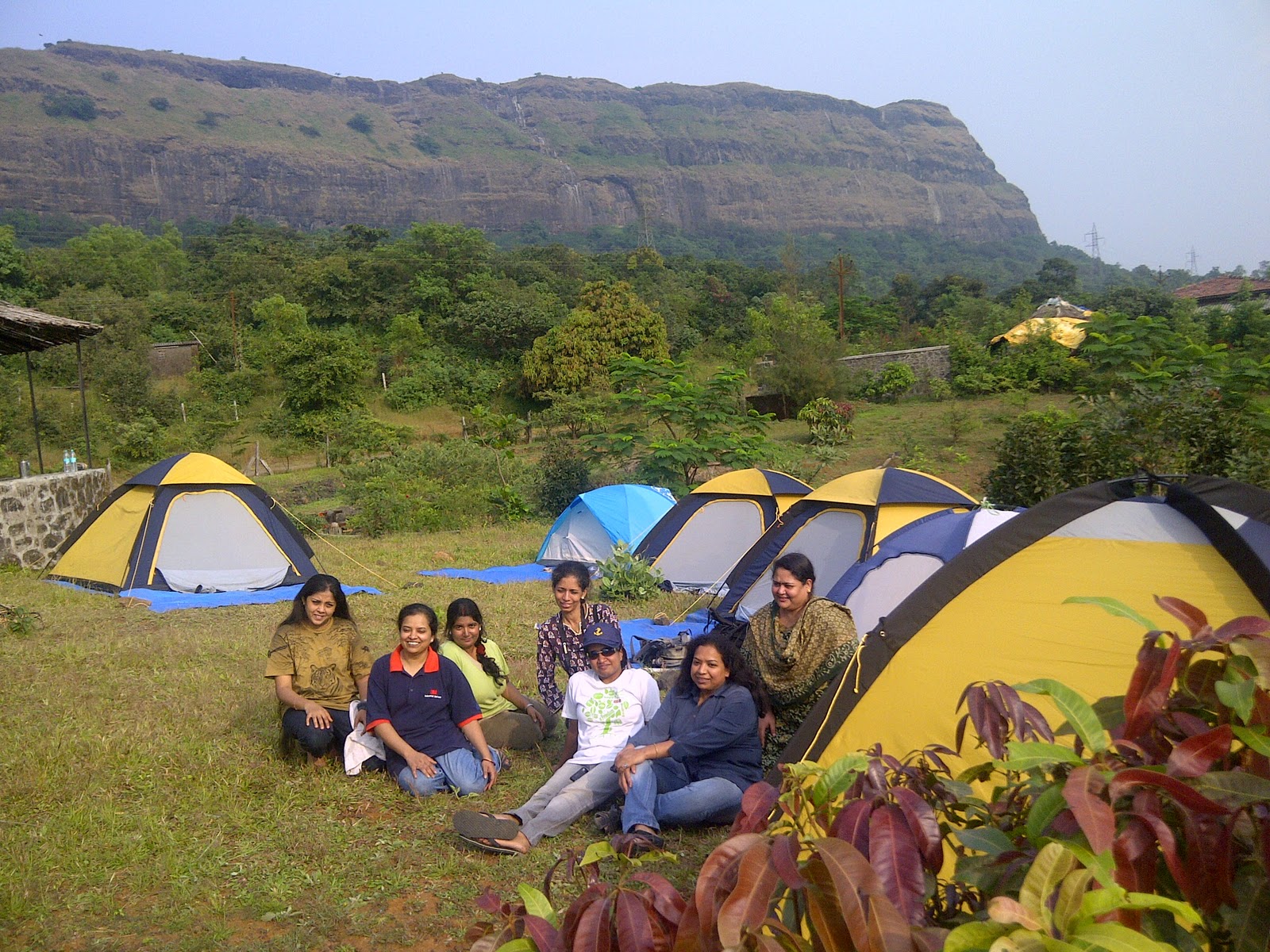
Camping Info
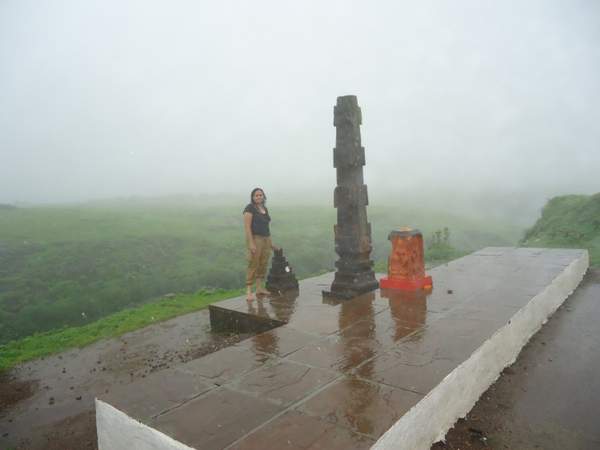
There is plenty of space for camping at the top of the fort, but it is advisable to carry your own camping equipments including tents.

Though there is a temple at the top of the fort, where trekkers can spend the night camping, but during weekends it gets crowded, and there is not much space for sleeping within the temple premises.
How to reach
Trekkers can club their visit to Pratapgad Fort with a trip to Mahableshwar.
By Road: Mahabaleshwar can be easily reached from both Mumbai and Pune as there are regular buses and cabs to Mahabaleshwar throughout the day.
After reaching Mahableshwar trekkers can board an S.T. bus or hire a private cab to reach Pratapgad fort which is 20 km away.
For bookings for a Monsoon Trek to Pratapgad Fort PLEASE CLICK HERE
Caution: The roads and trails leading to the fort are quite slippery during Monsoon so be careful while venturing on a trek.For more information read: Precautions to be taken during Monsoon trekking.