Location: Near Karjat
Distance from Mumbai: 204 km
Distance from Pune: 60 km
Trekking Duration: 1 day / 2 day / 3 day
Trekking Length: Via Pali: 2.5 hours and Via Gunjawane: 3.5 hours
Starting point: Gunjawane / Bhor / Pali. (3 base villages)
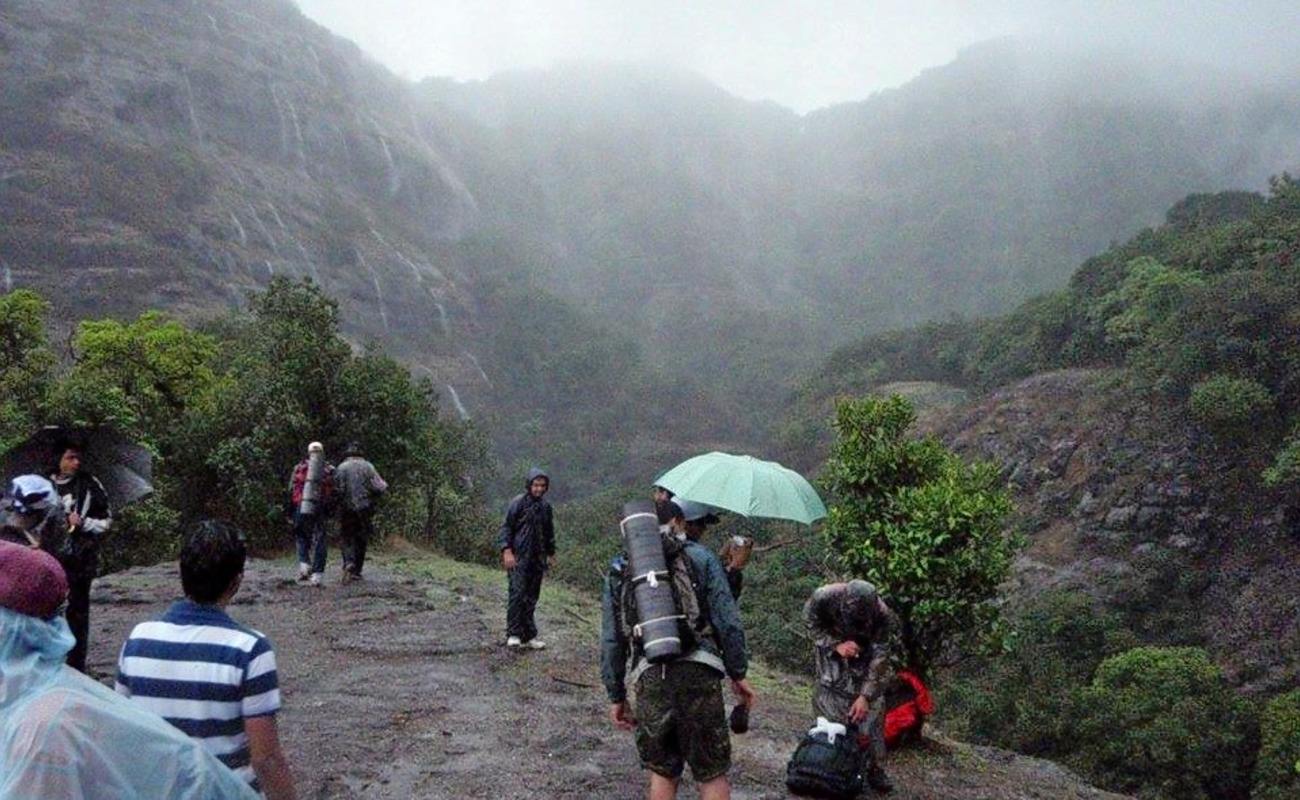
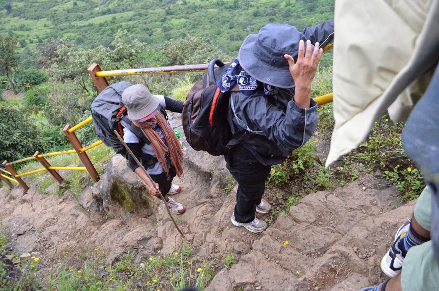
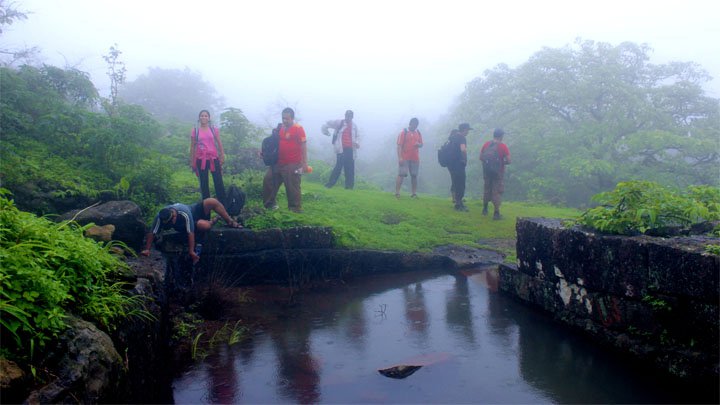
Best season: Monsoon / winter
Difficulty: Moderate / Medium
Height: 1295 mt (4250 feet) above sea level

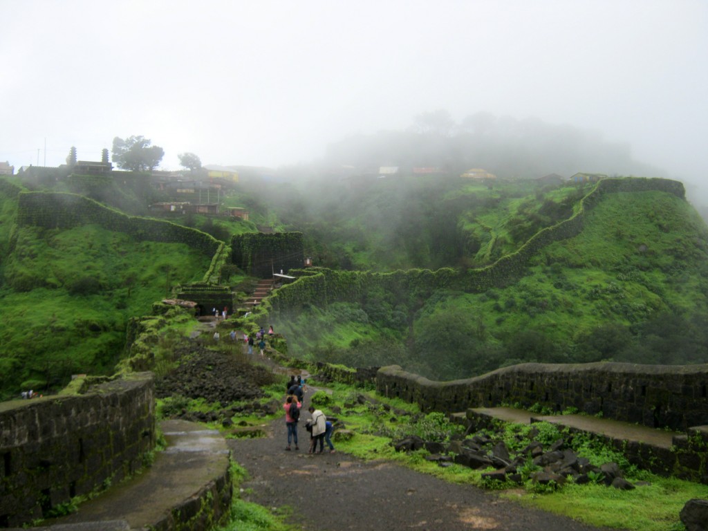
What to see at the fort:
- Sanjeevani Machee
- Padmavatee Machee
- Padmavati temple
- Rameshwaram temple
- Alu Darwaza
- Pali Darwaza
- Suvela Machee
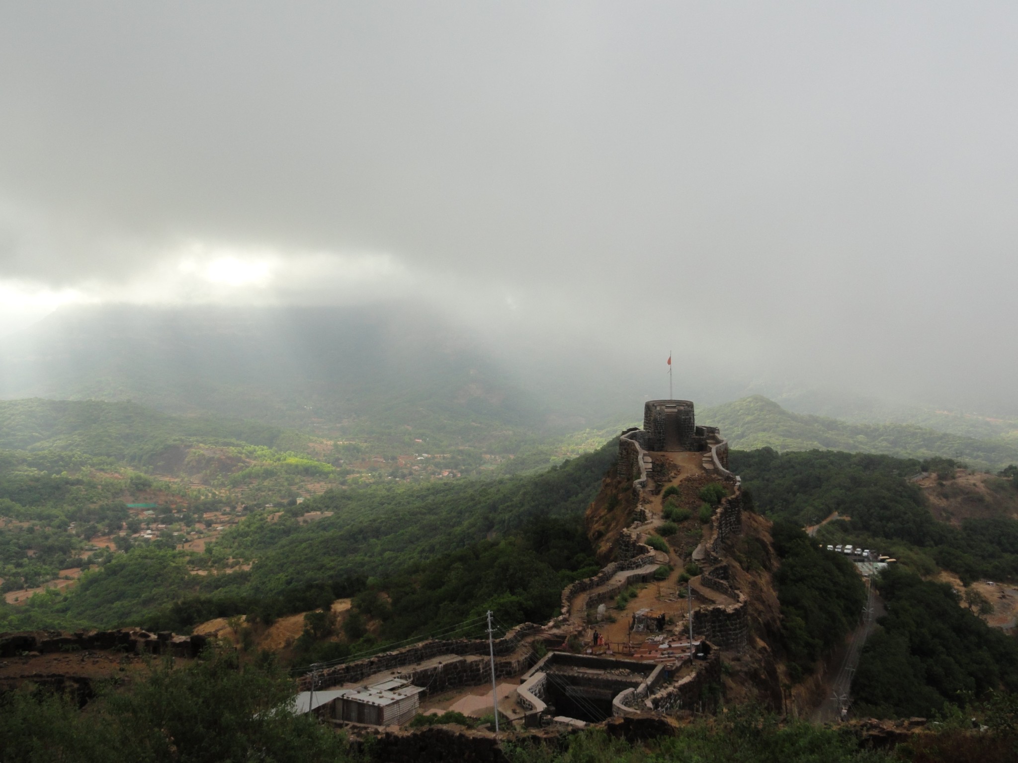
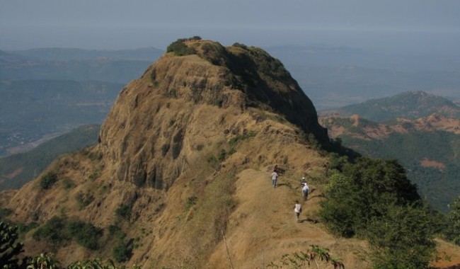
- Balekilla (The highest point on the fort)
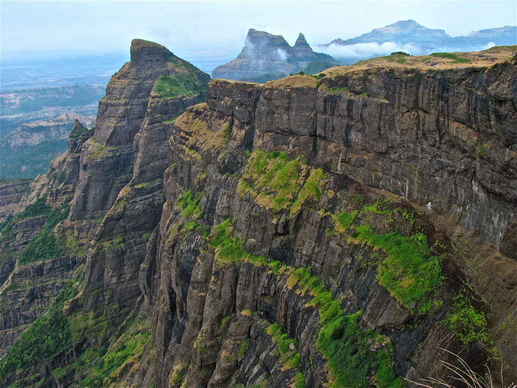
- View of Torna and Sinhagad forts
- Chor Darwaza
- Gunjavane Darwaza
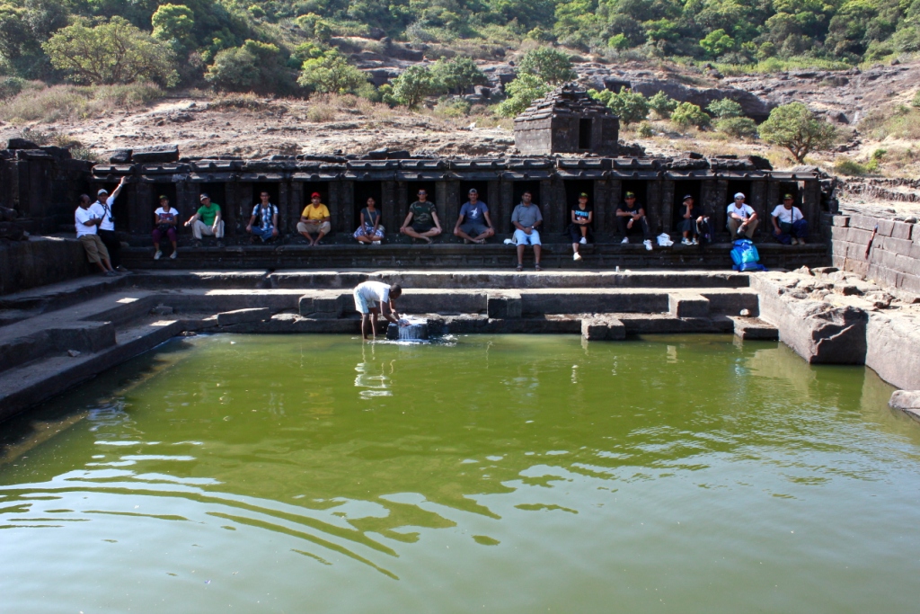
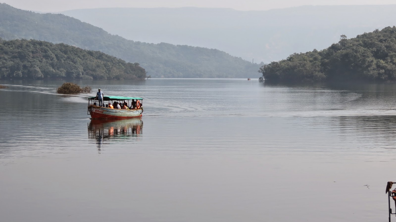
- Ardhchandra Lake
A brief history
Rajgad means ‘The King of Forts’ and is considered as one of the most important forts in Maharashtra as far as the cultural heritage of the state is concerned. The Rajgad fort as an interesting history and was home to Shivaji for over 25 years till he became the Chhatrapati. Post coronation he shifted his capital to Raigad. But the fort has witnessed lots of historic events, including the birth of Shivaji’s son Rajaram, the death of Shivaji’s Queen Saibai, the return of Shivaji from Agra, the burial of Afzal Khan’s head in the Maha darwaja walls of Balekilla and many more historic wars and events.

Description
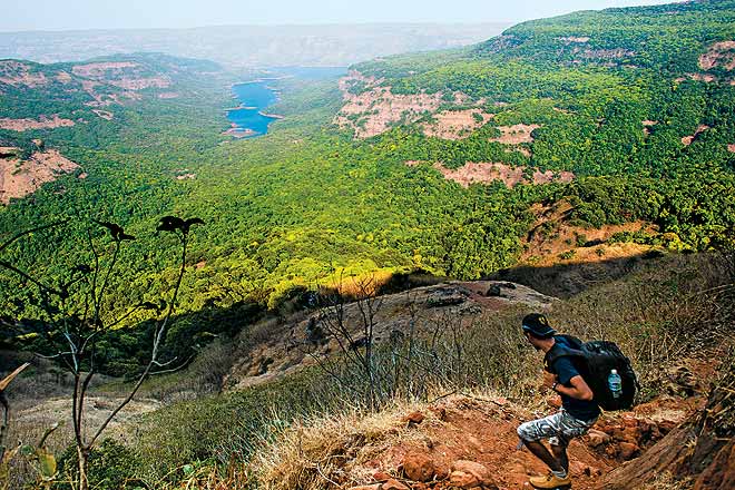
Rajgad is amongst the most popular trekking destinations near Pune. A majestic fort of Rajgad, offers a panoramic view of the surroundings and the best time to visit the Rajgad fort is just after monsoons, however one would find trekkers at Rajgad fort on weekends all throughout the year.

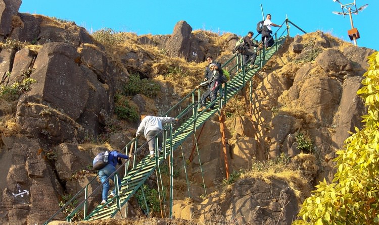
There are 3 ways to reach the top of the fort
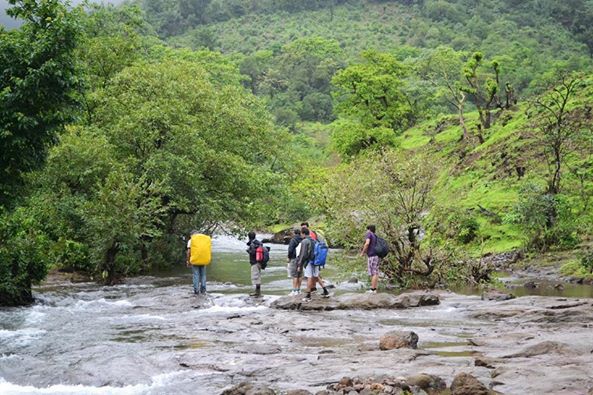
Via Pali Route:
This trek starts from Pali village and this route takes one through the Maha – Darwaza. This route is easy to trek on and ideal for first timers.
Via Gunjawane Route:
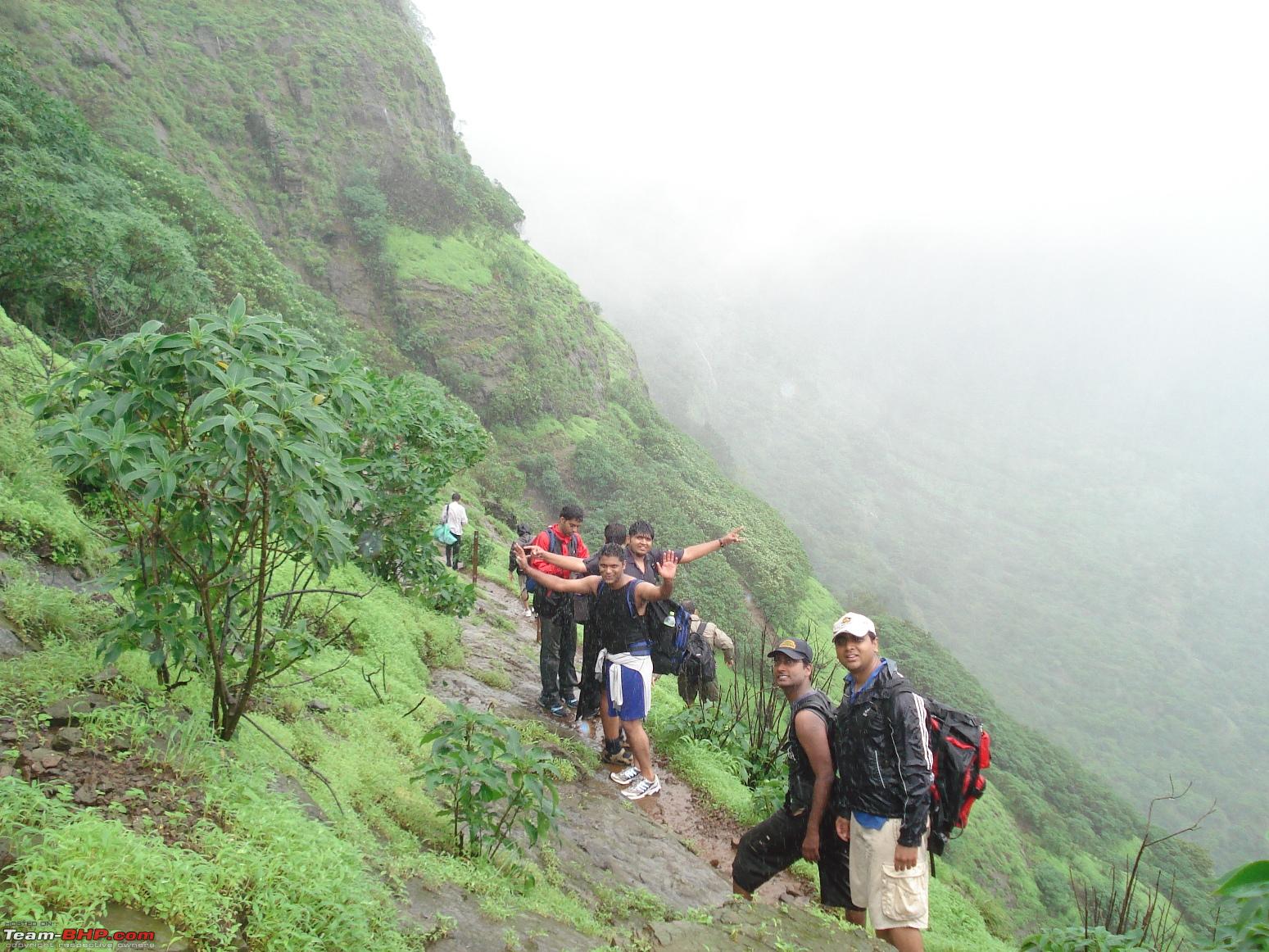
This trek starts from Gunjawane village and this route takes one through the Chor – Darwaza. This route is slightly difficult as compared to Pali route.
Via Bhor Route:
After reaching Bhor, trekkers should move towards Bhutonde village and start their trek. This route is shorter than the other routes (Pali & Gunjawane) mentioned, but is not very popular with trekkers as it is very slippery during monsoon season. But during winters trekkers can try this route as it offers a different experience.

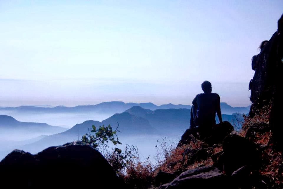
Once at the top of the fort, the beauty of the fort and the surroundings is mesmerizing. The sunrise from Balekilla is a must watch. The fort offers magnificent views of the lush green Sahyadri range. During the month of October the entire area is covered with colorful wild flowers combined with clear blue sky and the splendor of the fort is captivating.
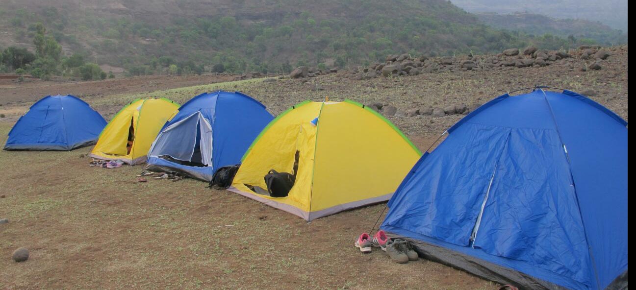
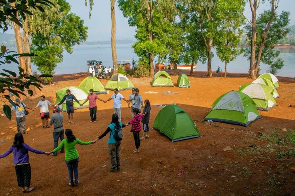
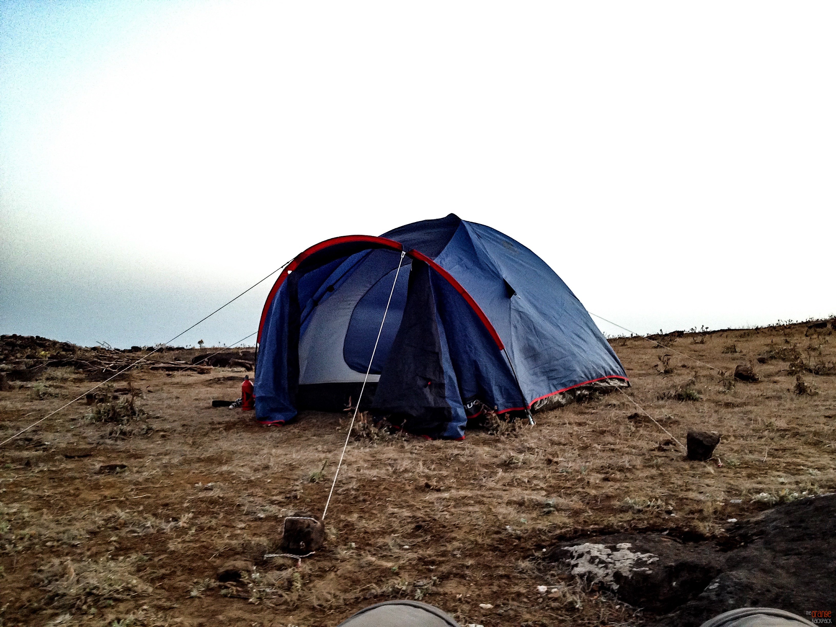
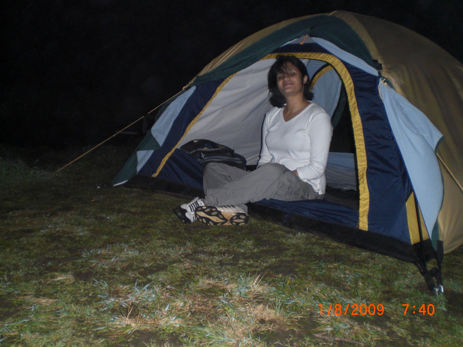
Camping Info
Camping here is ideal during winter and it is always advisable to carry your own camping gear or hire one. Trekkers can also take shelter at the Padmavati temple with can accommodate at least 30 people at night and there is water available at the top of the fort all round the year. But do carry sufficient food in case you are camping overnight.

Recently the local authorities have set up guest rooms on the top of the fort but kindly enquire about their availability incase you plan to stay overnight at the fort.
Furthermore, unlike other forts you do not need to carry or search for fire wood as the local villagers sell fire food at cheap rates and are sufficient for the night.
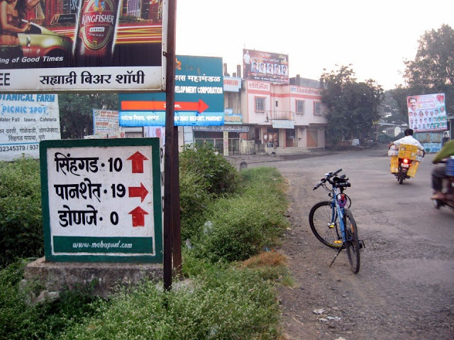
How to reach

From Pune – >
Rajgad fort is 60 km from Pune city.
There are several S.T (State Transport) buses are available from Swargate to village Gunjawane. Trekkers can also board buses for Velha and get down at Gunjawane Phata, from here they can take share rickshaws or other local transport to the base village.
If you travelling by private vehicle then take the Pune – Satara road route and reach Nasrapur Phata from there a road leads you to Gunjawane village.
From Mumbai – >
Trekkers can reach Pune and then follow the above mentioned route to reach Rajgad Fort.
For bookings for a Monsoon Trek to Rajgad Fort PLEASE CLICK HERE
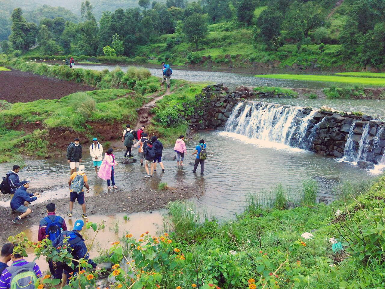
Caution: The roads and trails leading to the fort are quite slippery during Monsoon so be careful while venturing on a trek.For more information read: Precautions to be taken during Monsoon trekking.