Location: Near Satara
Distance from Pune: 250 km
Distance from Mumbai: 280 km
Trekking Duration: 1 day / 2 day
Trekking Length: 3 hours to reach to the summit
Starting point: Bamnoli is the base village
Best season: All round the year
Difficulty: Difficult (Ideal only for regular trekkers)
Height: 1171 mt (3842 feet) above sea level
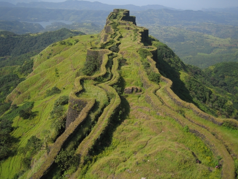
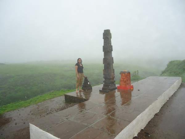
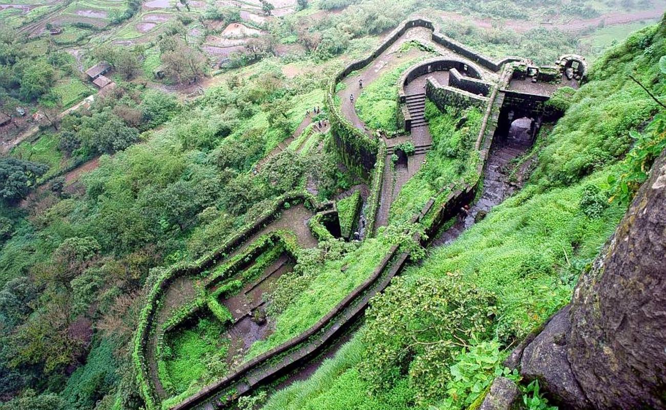
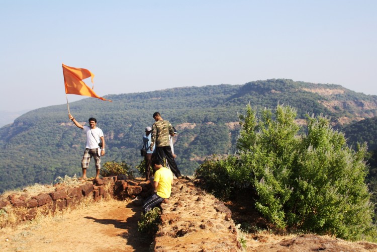
What to see at the fort
- Nageshwar cave with a Mahadev temple inside
- Views of Babu Kada
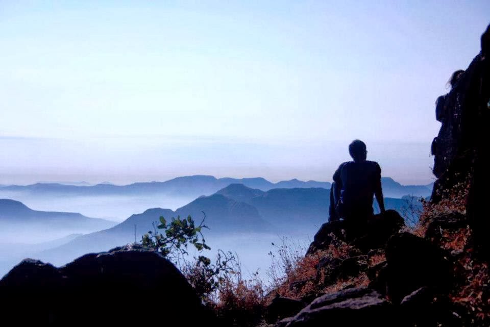
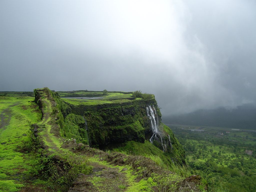
- Spectacular views of Koyna backwaters and of the Wild Life Sanctuary
- Trek through the jungle(wild life reserve)
- Enjoy a boat ride through the Koyna backwaters
- Ideal location for wild life photography
A brief history:
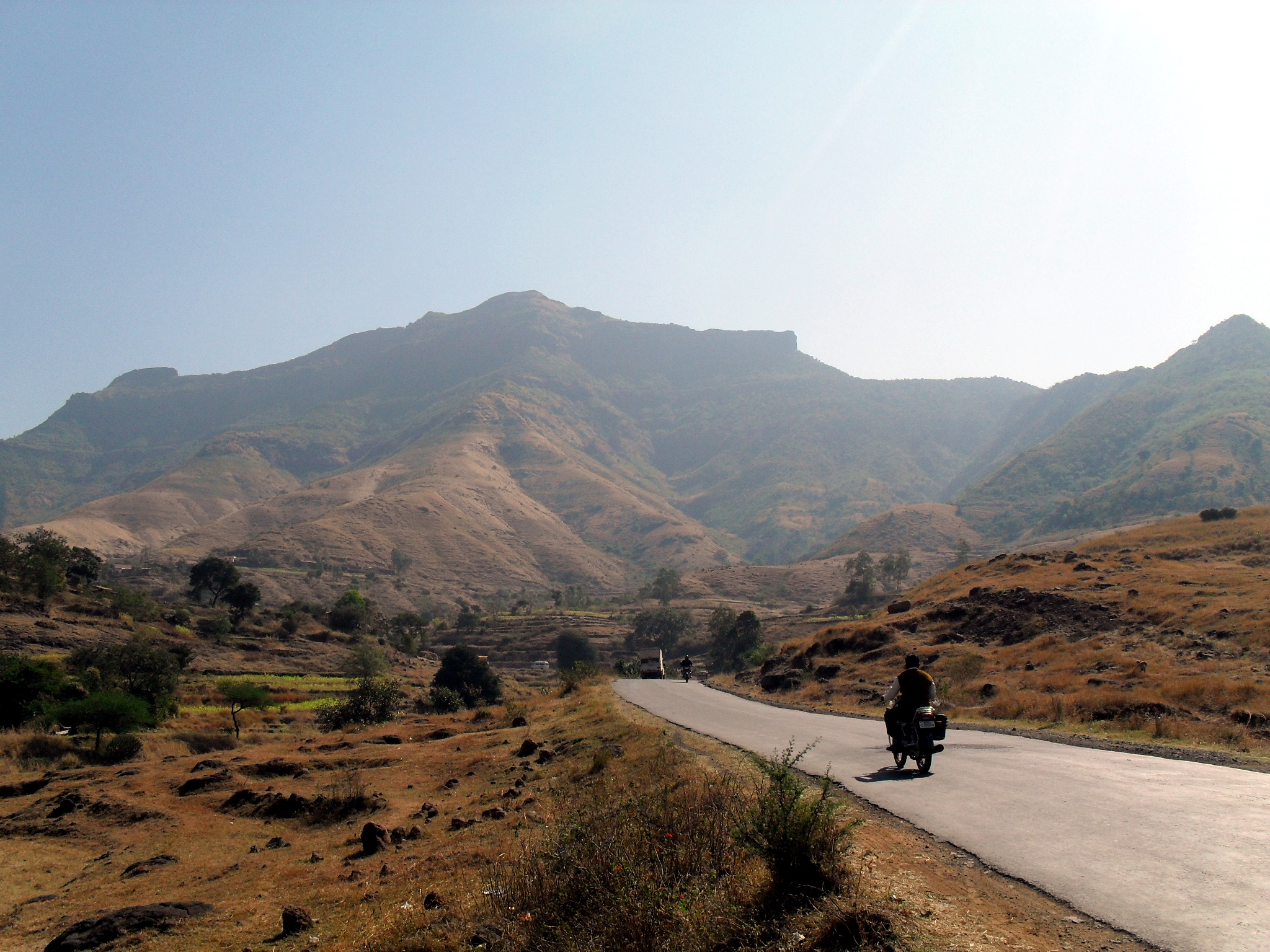
According to historians the Vasota fort was under the Maratha rule during the 16th century. It was named Vyaghragad(meaning tiger) by Shivaji Maharaj because of its defensive capability. Later it was in control of the Peshwas (Bajirao Peshwe) only to fall in the hands of the British empire during the 18th century who bombarded the fort and destroyed many structures within the fort.
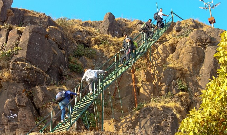
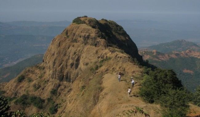
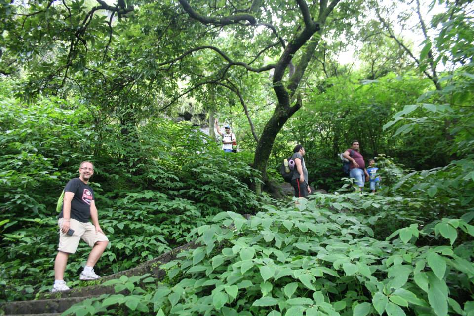
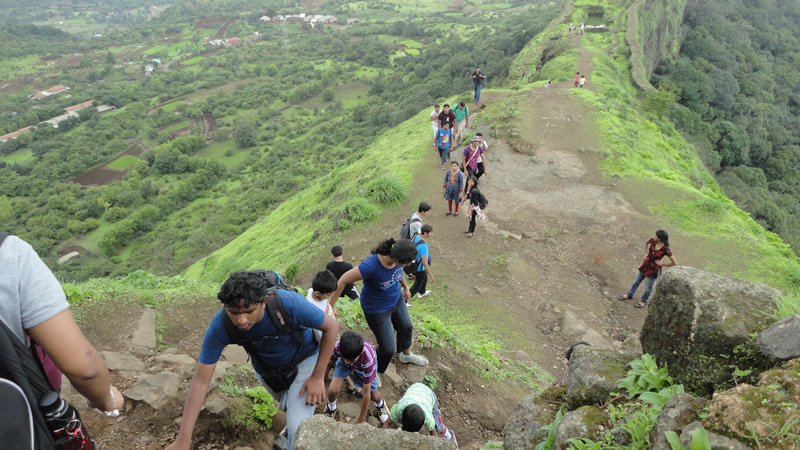
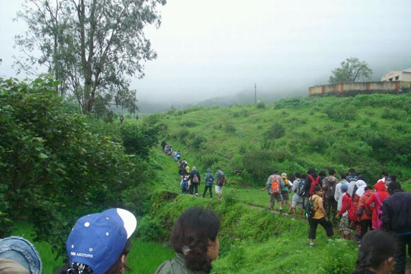
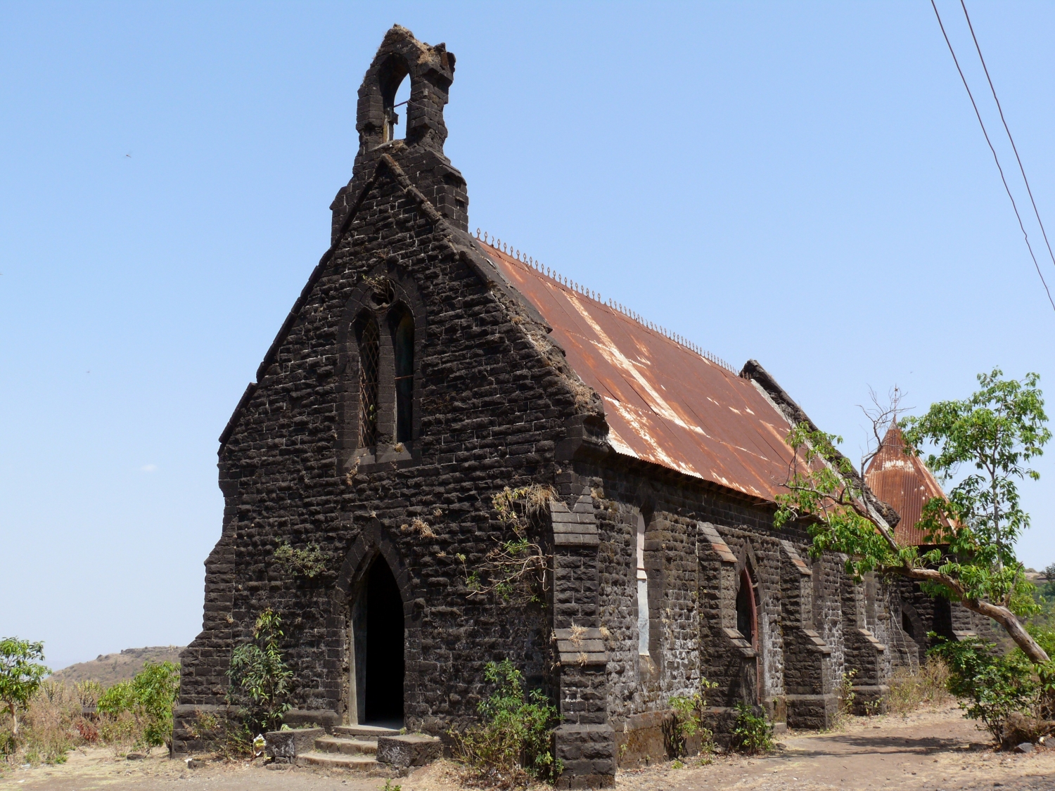
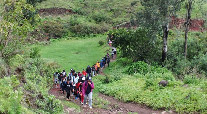
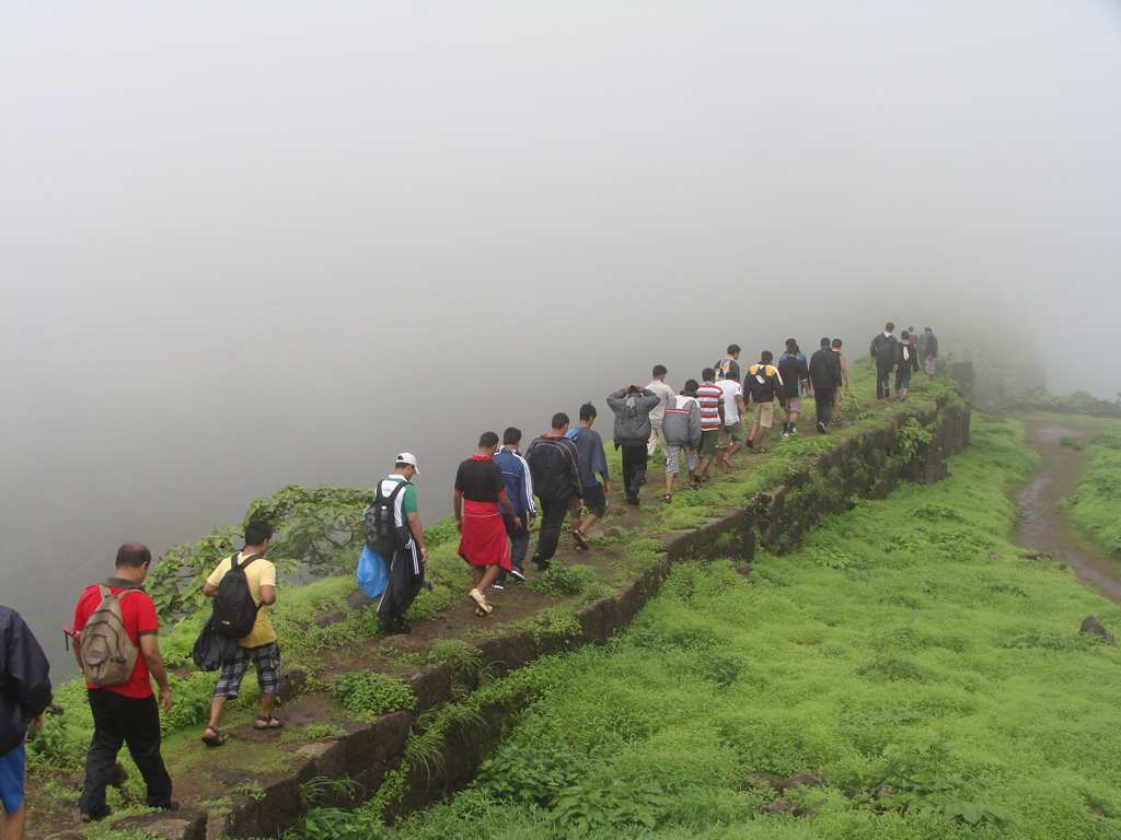
There are 2 forts i.e. old and new, the old Vasota is inaccessible and trekking is carried out only at the new Vasota fort. This is a dream trek for every trekker as it offers a thrilling experience of walking through a dense forest full of wild animals and an opportunity to get close to nature. On the way up trekkers will Get a glimpse of a Hanuman temple, water reservoirs, old dilapidated structures and the Nageshwar cave which is home to the Mahadev temple.

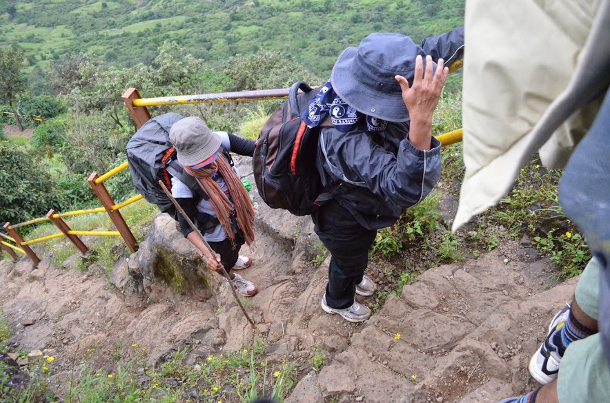
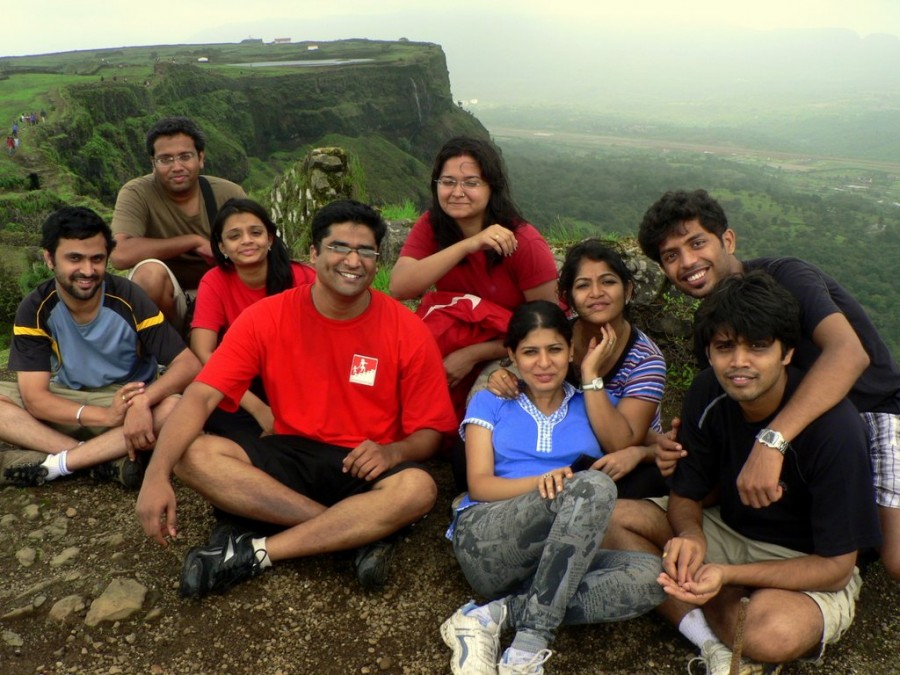
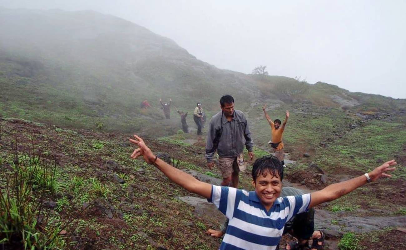
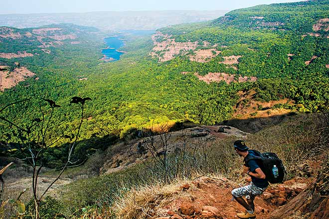
On reaching the half way trekkers will be rewarded with spectacular views of the Shivsagar Lake and the surrounding beauty of the jungle. Trekkers must ensure that they trek in a group and at no point of time should anyone stray away as the jungle is home to a number of wild animals like wild dogs, sloth bears, leopards and even tigers. Trekkers are advised to carry plenty of water and food as the trek to the summit takes about 3 hours and can be tiring.

Please note:
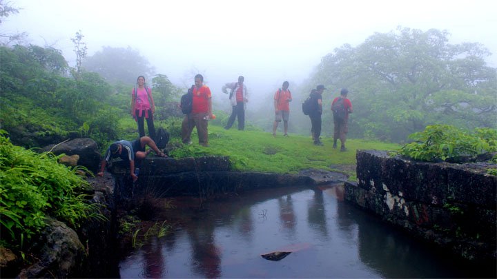
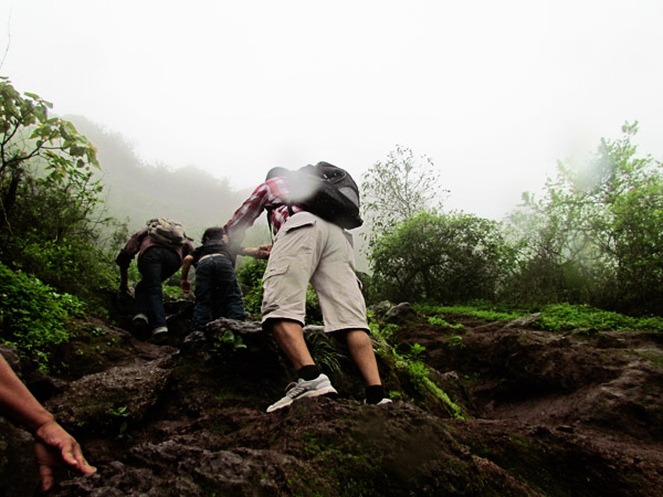
- Since the fort is in the middle of a dense jungle trekkers must take proper precautions during monsoon as the area is full of leeches.
- Fort Vasota comes under Project Tiger hence prior permission has to be taken from the forest department. Trekking clubs and groups generally take care of these permits in case you not associated with any club or group then make arrangements for the permits.
- Reach Bamnoli village by 8:00 a.m. as you will then get enough time to trek and explore the fort and jungle. Leave the fort latest by 03:30 p.m. as it is not safe to descend late at dark.
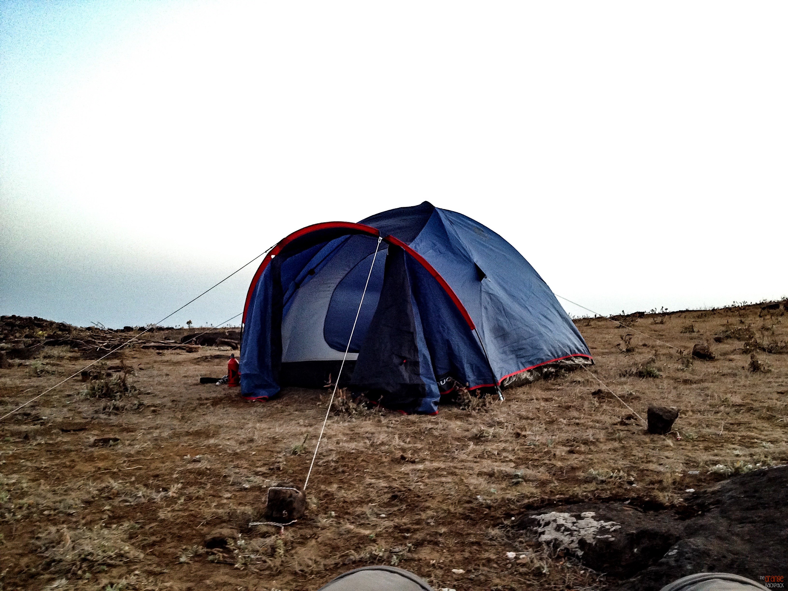
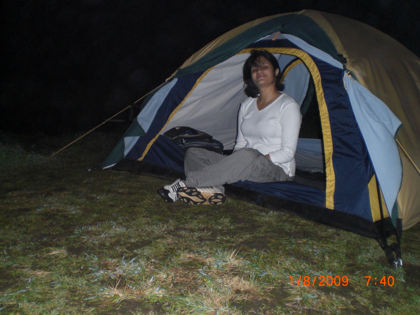
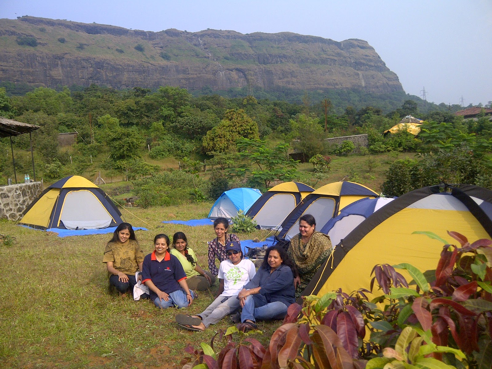
Camping Info:
Camping at the fort or in its surrounding areas is not permitted by the forest department as it lies under a wild life sanctuary and attracts wild animals at night.
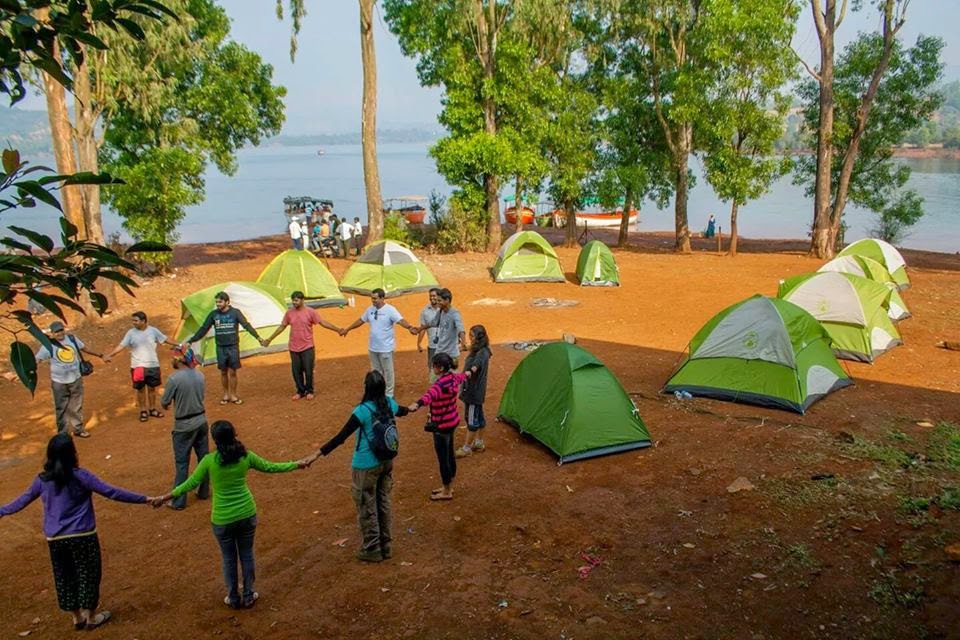
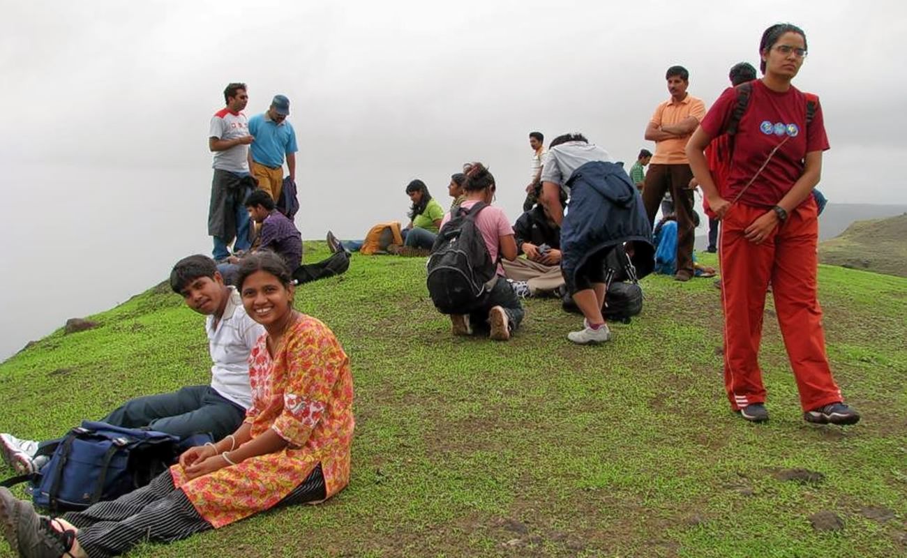
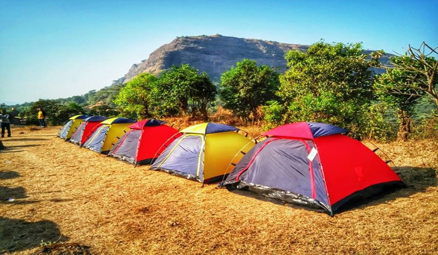
Trekkers can enjoy camping at the Bamnoli (base village) and set up a campsite along the beautiful Shivsagar Lake and enjoy its beauty.
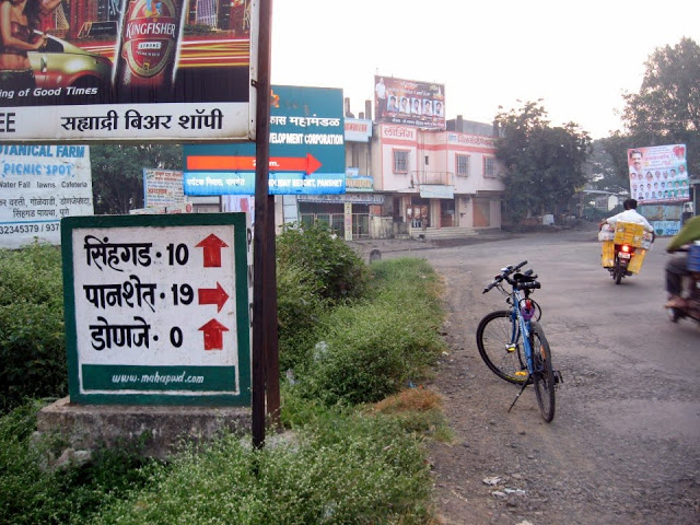
How to reach:
From: Mumbai - > Pune – > Satara -> Bamnoli village
From: Pune – > Satara -> Bamnoli village
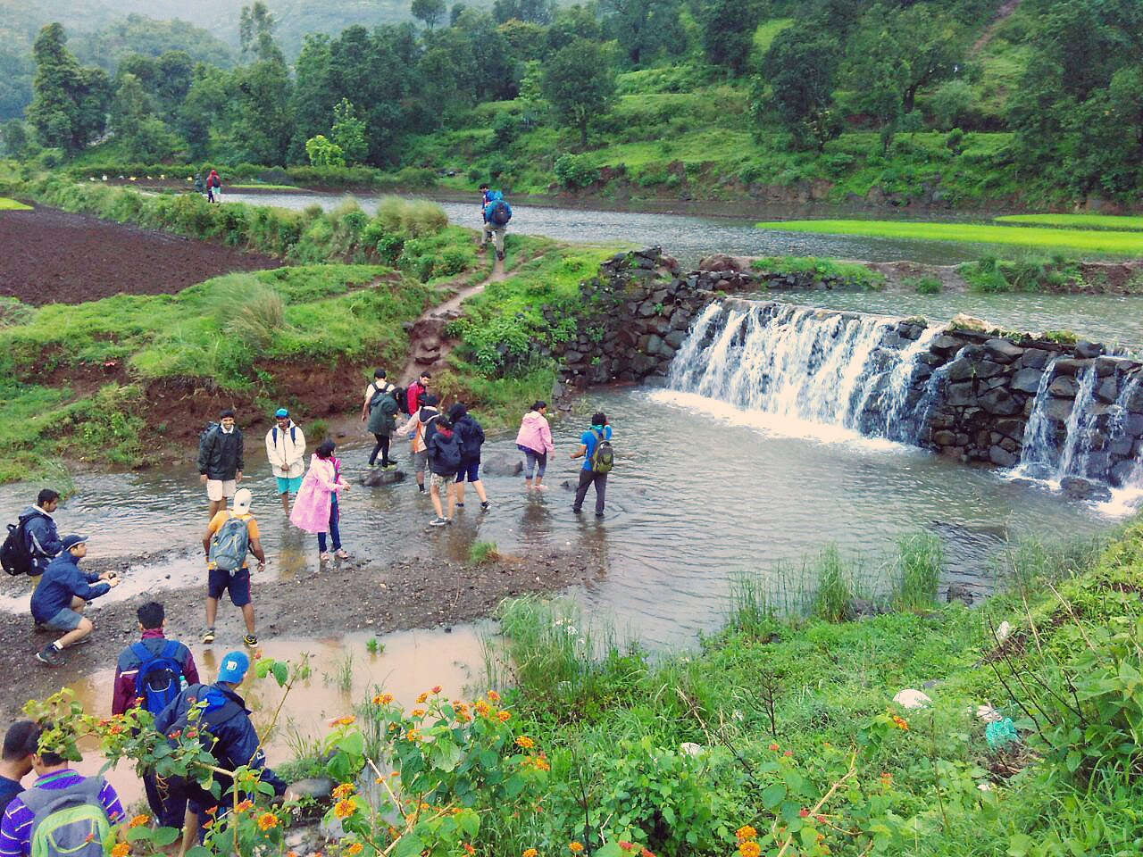
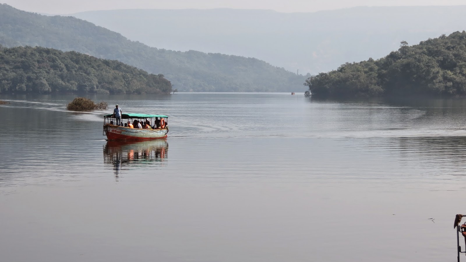
Once at Bamnoli trekkers have to take a boat ride on the Shivsagar Lake for about one and a half hour which will take them to the base of the fort. This is where the actual trek begins.
The boat ride offers breathtaking views of the mountains and sceneries surrounding the lake. Traveling in a large group makes the boat ride cost effective.
For bookings for a Monsoon Trek to Vasota Fort PLEASE CLICK HERE
Caution: The roads and trails leading to the fort are quite slippery during Monsoon so be careful while venturing on a trek.For more information read: Precautions to be taken during Monsoon trekking.