After a tiring week of work and stress it is time to relax and take a break from the regular schedule. This years monsoons have been good and has rained more than normal making the weather pleasantly wonderful all over Maharashtra.
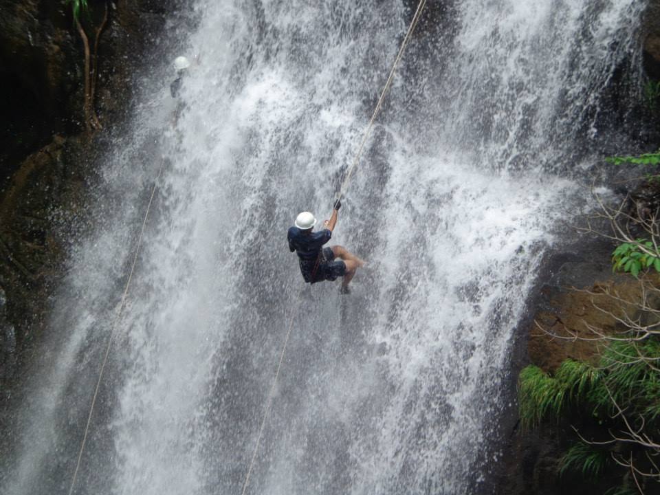
With famous hill stations being congested during monsoon, Puneri’s can visit scenic waterfalls near Pune and enjoy a wonderful time in the company of friends and family. Not only do these places make a wonderful picnic spot, but also are the best places to enjoy the thrill of adventure sport like waterfall rappelling and trekking.

Here we take a look at some of the best waterfalls near Pune that offer the perfect environment to enjoy your weekend.
Thoseghar Waterfall
Thoseghar Waterfall is one of the tallest waterfalls in India, and is located in a scenic spot near Satara, and is one of the most visited attractions during monsoon season.

Here there are a series of waterfalls, some of them 15 to 20 m, while the main fall is about 500 m high. The area surrounding the waterfall is calm and quiet with clean lakes and dark woods.There is a small picnic area and a platform which gives a good view of the waterfall to visiting tourists.
Please click here for complete information on Thoseghar Waterfall.
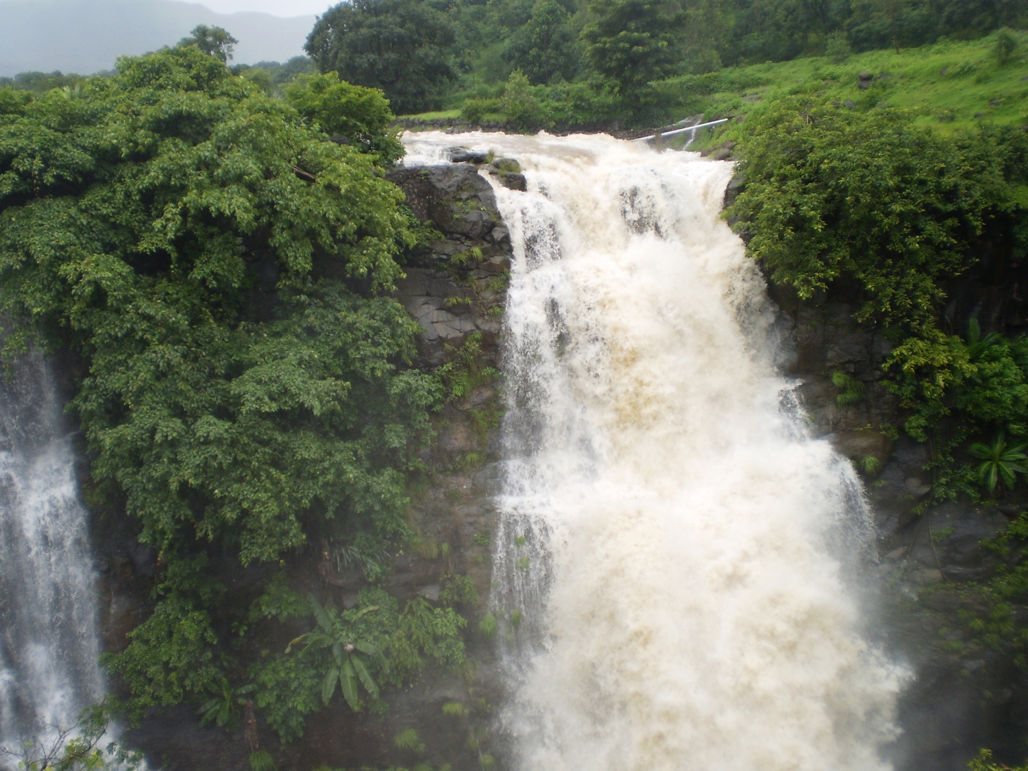
Vardayini Waterfall
Located in the pristine Sahyadri mountain range, the Vardayini Waterfall is well known for its breathtaking beauty.
Untouched by commercialization, the waterfall is around 135 feet in height and has gentle slope making it an ideal place for a picnic with friends and family. The Vardayani falls, gets its name from a local deity ‘Vardayani Devi’. The falls can be reached after a short trek through the woods. A nice, quaint place is ideal for a day’s trip.
Please click here for complete information on Vardayani Waterfall.
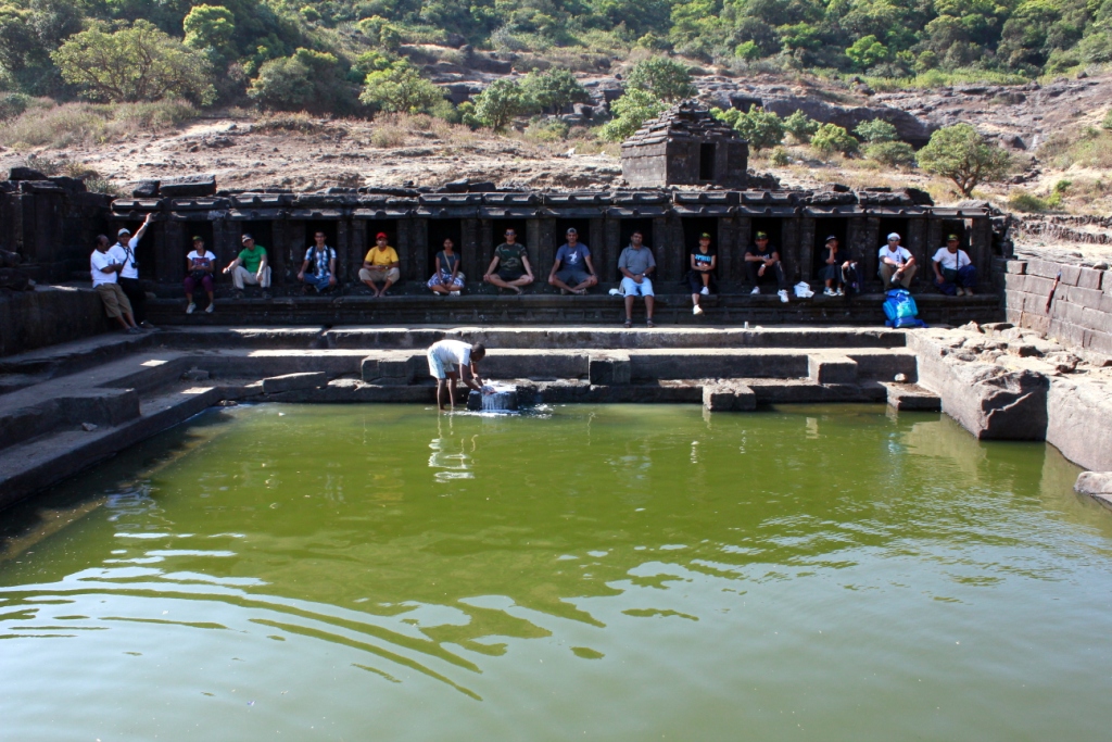
For a trip to the nearest waterfall Please Click Here
Kansai Waterfall
Have you ever visited a secret waterfall? If the answer is No, then visit the Kansai Waterfall which is one of the most hidden waterfalls near Mumbai and Pune.

The waterfalls can be reached after a short adventurous trek and it is one of the falls which is the least crowded giving visitors a chance to enjoy a good time in the privacy of family and friends. The trip is loaded with adventure all the way and is ideal for a one day picnic. The best time to visit the falls is during monsoon up till December.
Please click here for complete information on Kansai Waterfall.
Chinamans Waterfall
The Chinamans fall is located in the scenic hill station of Mahableshwar. To reach the waterfalls, one has to take a short trek through the forest which is embedded with scenic beauty and is a paradise for walkers.

The waterfall cascades down from a height of 500 feet into the deep valley, and further flows into 2 different routes, and merges into a single stream. The calm surroundings and the exotic fall render’s a perfect holiday spot for visitors.
Please click here for complete information on Chinamans Waterfall.
Kune Waterfall
The Kune Waterfall is located on the old Mumbai – Pune highway, in the center of the twin hill stations of Lonavala and Khandala. Kune falls lies at an altitude of 622 m, and is set against the backdrop of the famous Sahyadri hills.

It is a 3 – tiered waterfall cascading down from a height of 200 m and is divided into 2 sections. Furthermore it is believed to be the 14th highest waterfall in India and is surrounded by lush green vegetation and provides a great visual experience for visiting tourist.
Please click here for complete information on Kune Waterfall.
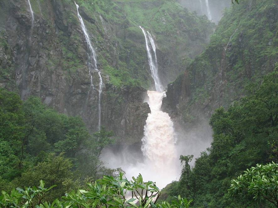
Tamhini Waterfall
Situated on the crest of the Western Ghats, the Tamhini Ghat is popular for its scenic waterfalls, lakes and dense forests.

The waterfalls of Tamhini Ghat are a sight to behold during monsoon season i.e. between July and September. During this time it offers breathtaking views and a tranquil atmosphere surrounded by lush greenery and a diverse range of birds, a must visit for all nature lovers.
Please click here for complete information on Tamhini Waterfall.
Vajrai Waterfall
The Vajrai falls is a picturesque waterfall, located near the Kaas Flower Valley in Satara district. This 3 – tier perennial waterfall, is a spectacular sight during monsoons, and cascades down from a height of around 850 feet.

Every year during the monsoons, holiday makers from all over Maharashtra flock to these falls to watch the beauty of the waterfall flow down the streams amidst lush green surroundings.
Please click here for complete information on Vajrai Waterfall.
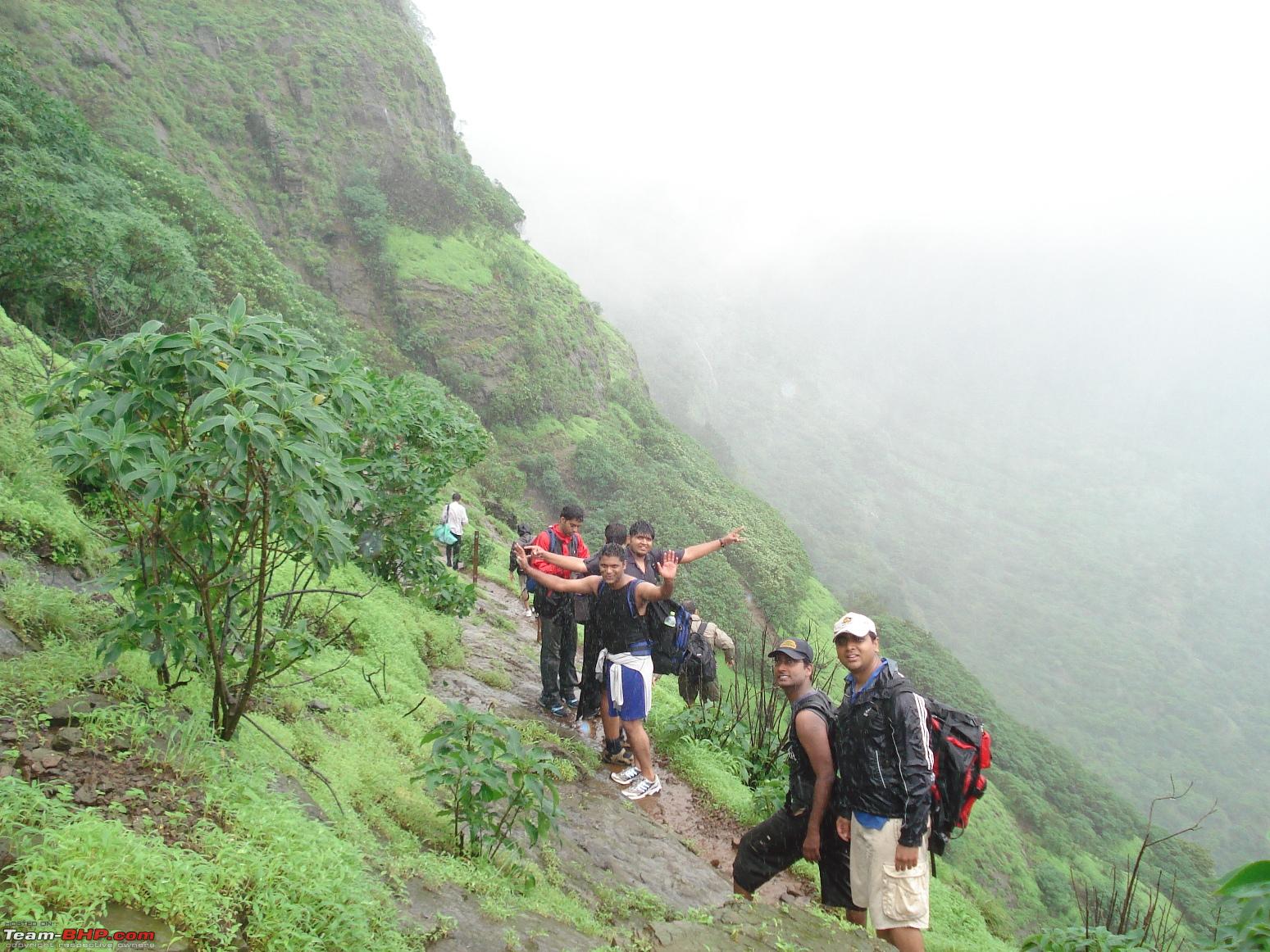
For a trip to the nearest waterfall Please Click Here
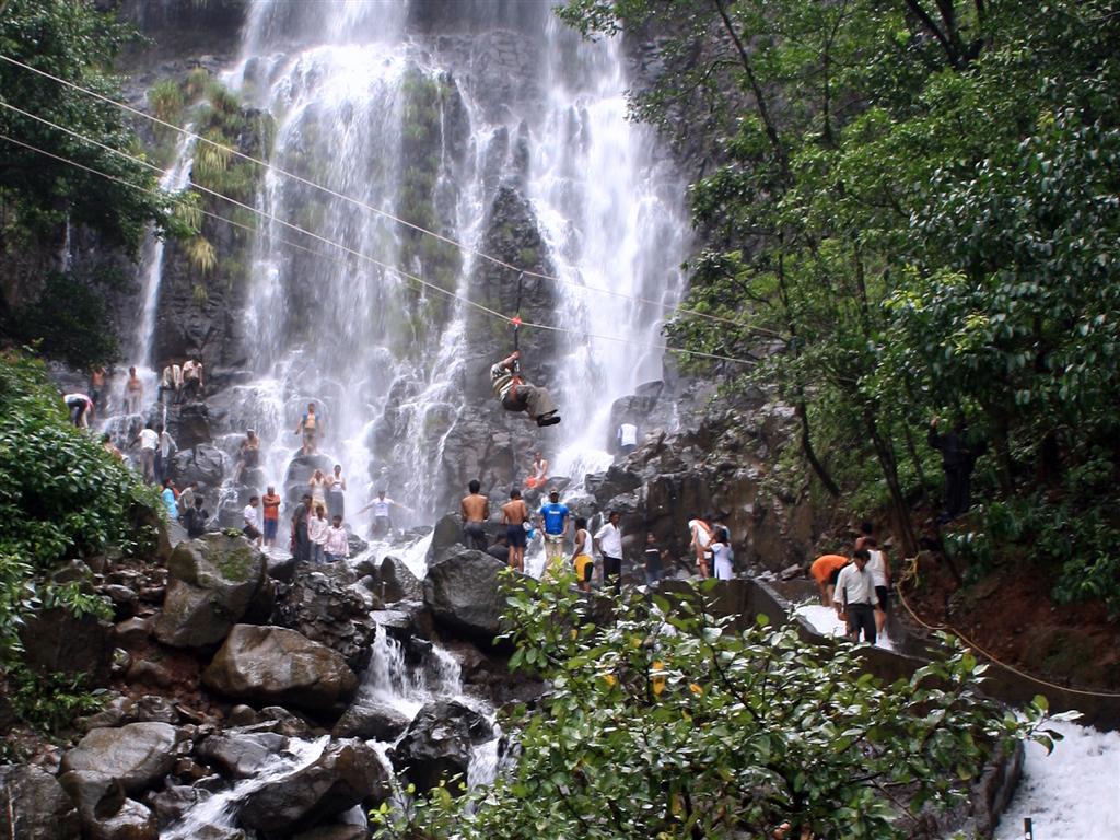
Zenith Waterfall
Zenith waterfall is located at Khopoli and is a popular destination with picnickers during the monsoons. To reach the falls one has to wade through a shallow stream and walk through a forest area.

All this adds to the charm of the visiting the Zenith falls. Post monsoon tourist can enjoy adventure sport activities like rappelling and rock climbing here.
Please click here for complete information on Zenith Waterfall.
Malshej Waterfalls
Malshej Ghat is amongst the most visited destinations in Maharashtra during monsoons.
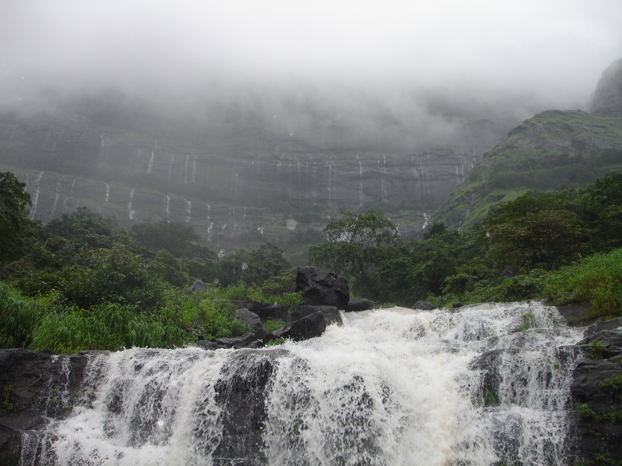
The sheer magnificence of the waterfalls in this area can be enjoyed during monsoons, when the falls swell up with rain water, and cascades down the rocks adding to the beauty of the surroundings. Rain, mist and cascading waterfalls surrounded by woody forest make it a wonderful sight, where visitors can enjoy some of the most memorable moments of their life.
Please click here for complete information on Malshej Ghat Waterfall.
Bhushi Dam
The Bhushi Dam is not a natural waterfall, but visitors can enjoy the same kind of experience when here.

The dam is located in Lonavala and is very popular with tourists from Mumbai and Pune during weekends where they can get wet, enjoy splashing water and enjoy a good time with friends.
Please click here for complete information on Bhushi Dam.
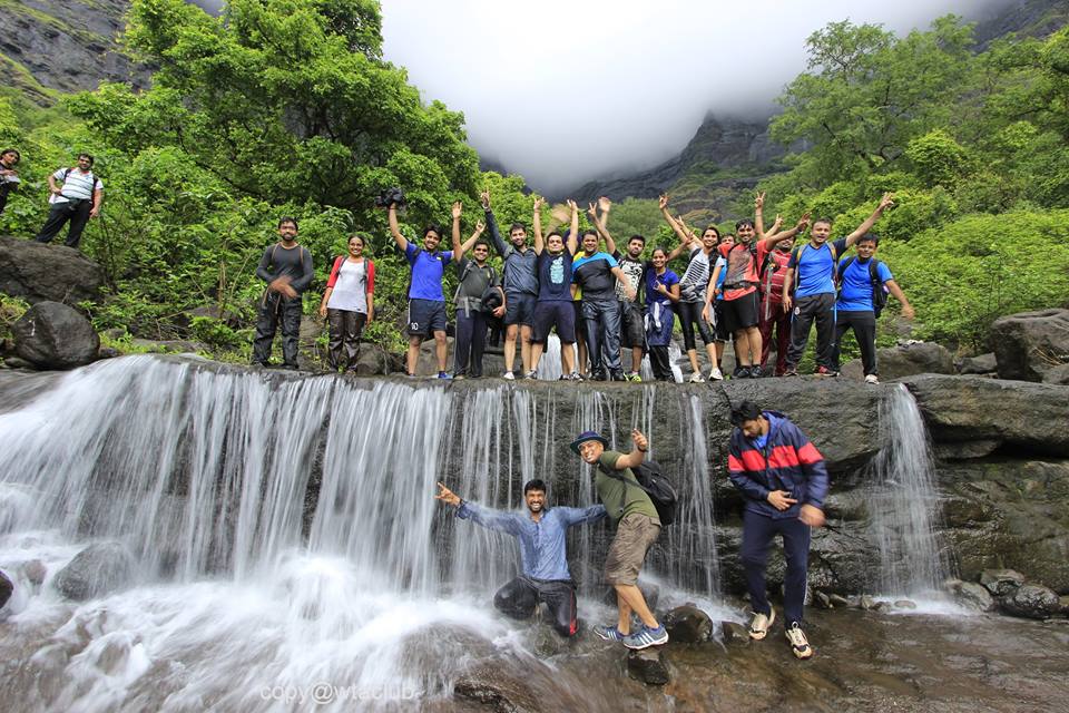
For a trip to the nearest waterfall Please Click Here
Umbrella Waterfall
Located in Bhandardara, the Umbrella waterfall is a beautiful fall, in the shape of an Umbrella and is situated at the Wilson Dam. This waterfall can be viewed only during monsoon season when the Wilson dam reaches its full capacity.

It is one of the main attractions in Bhandardara, and one of the best waterfalls in Maharashtra. Furthermore, the falls have been in the backdrop of several Bollywood movies and every visiting tourist will enjoy the breathtaking views from here.
Please click here for complete information on Umbrella Waterfall.
Dhobi Waterfall
The picturesque hill station of Mahableshwar is home to several scenic waterfalls, and amongst them, the most prominent is the Dhobi Waterfall.
The height of the falls is about 450 feet, and flows into the Koyna River. To enjoy the beauty of the falls, tourists have to visit the Elphinstone point in Mahableshwar. The months between July to December are the best to view and enjoy the beauty of the falls.
Please click here for complete information on Dhobi Waterfall.
Randha Waterfall
The Randha waterfall is located in the pretty hill town of Bhandardara, and is known to be the third largest waterfall in India. Once at the falls; visitors will feel the embrace of nature with cloud capped mountains all around, and milky water flowing in full vigor.
The waterfall is formed over the Pravara River and cascades down from a height of 170 feet into a beautiful gorge.The best time to visit this waterfall is during monsoon, so make sure you do not miss this opportunity this monsoon.
Please click here for complete information on Randha Waterfall.
Lingmala Waterfall
During monsoons, Mahableshwar acquires a new dimension in its scenic beauty, and during this time it is home to the beautiful Lingmala waterfalls.

The scenic fall plunges down 600 feet, and is a visual delight as one can spot rainbows here for most of the times. The waterfall can also be visited post monsoon when the falls are believed to be even bigger and beautiful.
Please click here for complete information on Lingmala Waterfall.